Transport Functions
Rail
Road
Hub Profile
Place type
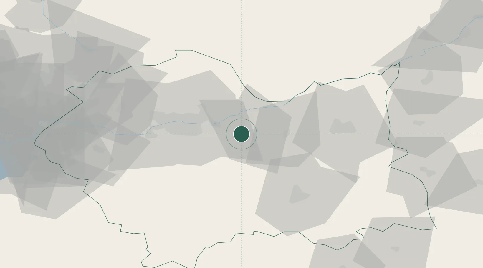
Populated place
Region
Lesser Poland
Population
1,300
Time zone
Europe/Warsaw
Elevation
199 m
Location
Nearby Logistics Neighbours
Cities
- 1Klaj2 km
- 2Ploxo9 km
- 3Okocim19 km
- 4Lyszkowice24 km
- 5Limanowa32 km
Ports
- 1Gdansk499 km
- 2Nowy Port506 km
- 3Baltiysk518 km
- 4Gdynia521 km
- 5Kaliningrad525 km
Airports
Trade Zones
DatabookThe Record of Consolidated Knowledge
Poland beyond logistics?