Transport Functions
Rail
Road
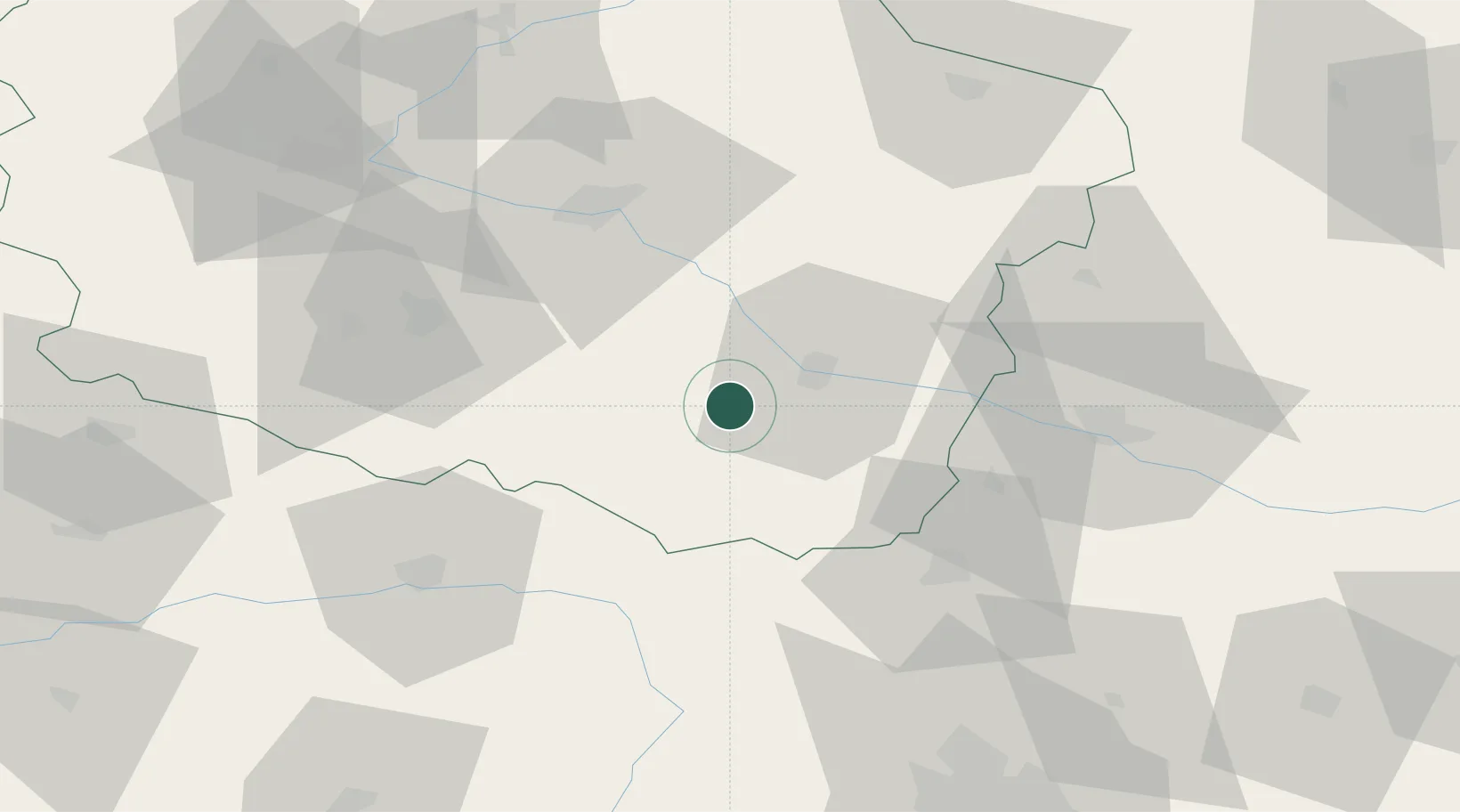
Hub Profile
Place type
District seat
Region
Kujawsko-Pomorskie
Population
4,522
Time zone
Europe/Warsaw
Elevation
78 m
Location
Nearby Logistics Neighbours
Cities
- 1Czerniewice16 km
- 2Kowal20 km
- 3Radziejów25 km
- 4Piotrków Kujawski28 km
- 5Wielgie30 km
Ports
- 1Gdansk195 km
- 2Nowy Port203 km
- 3Gdynia216 km
- 4Baltiysk236 km
- 5Kaliningrad256 km
Airports
Trade Zones
DatabookThe Record of Consolidated Knowledge
Poland beyond logistics?