Transport Functions
Rail
Road
Hub Profile
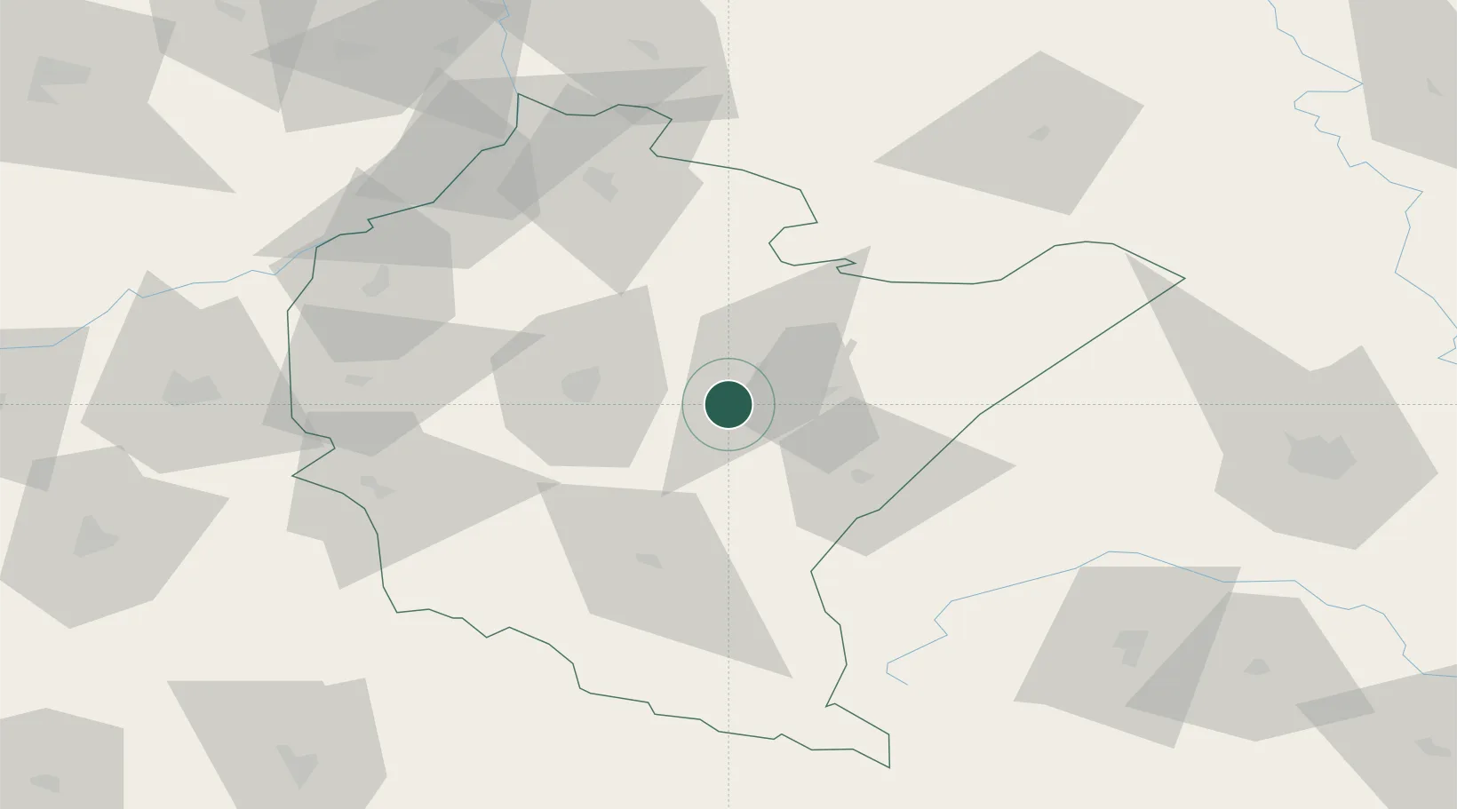
Place type
District seat
Region
Subcarpathia
Population
3,186
Time zone
Europe/Warsaw
Elevation
210 m
Location
Nearby Logistics Neighbours
Cities
- 1Przeworsk11 km
- 2Lancut16 km
- 3Jawornik Polski20 km
- 4Rakszawa22 km
- 5Orly30 km
Ports
- 1Kaliningrad541 km
- 2Baltiysk545 km
- 3Gdansk549 km
- 4Nowy Port555 km
- 5Gdynia570 km
Airports
- 1Rzeszów-Jasionka Airport31 km
- 2Lviv International Airport112 km
- 3Lublin Airport141 km
- 4Uzhhorod International Airport150 km
- 5Košice International Airport170 km
DatabookThe Record of Consolidated Knowledge
Poland beyond logistics?