Transport Functions
Rail
Road
Hub Profile
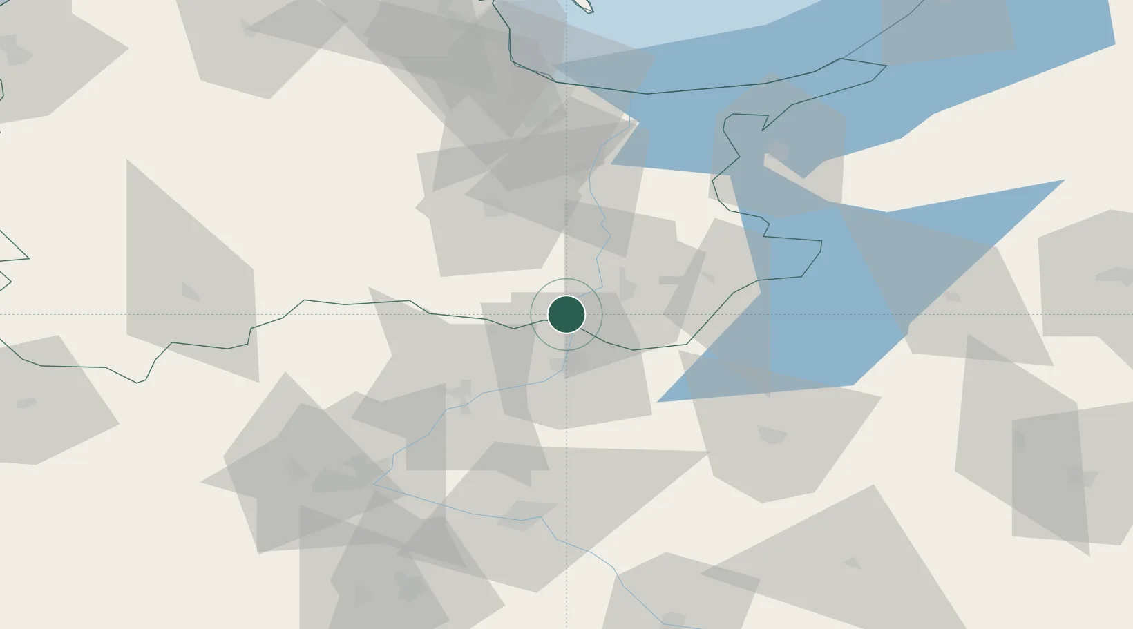
Place type
Populated place
Region
Kujawsko-Pomorskie
Population
6,104
Time zone
Europe/Warsaw
Elevation
74 m
Location
Nearby Logistics Neighbours
Cities
- 1Kisielice35 km
- 2Starogard Gdanski38 km
- 3Sliwice38 km
- 4Jablonowo Pomorskie38 km
- 5Loza46 km
Airports
Trade Zones
DatabookThe Record of Consolidated Knowledge
Poland beyond logistics?