Transport Functions
Rail
Road
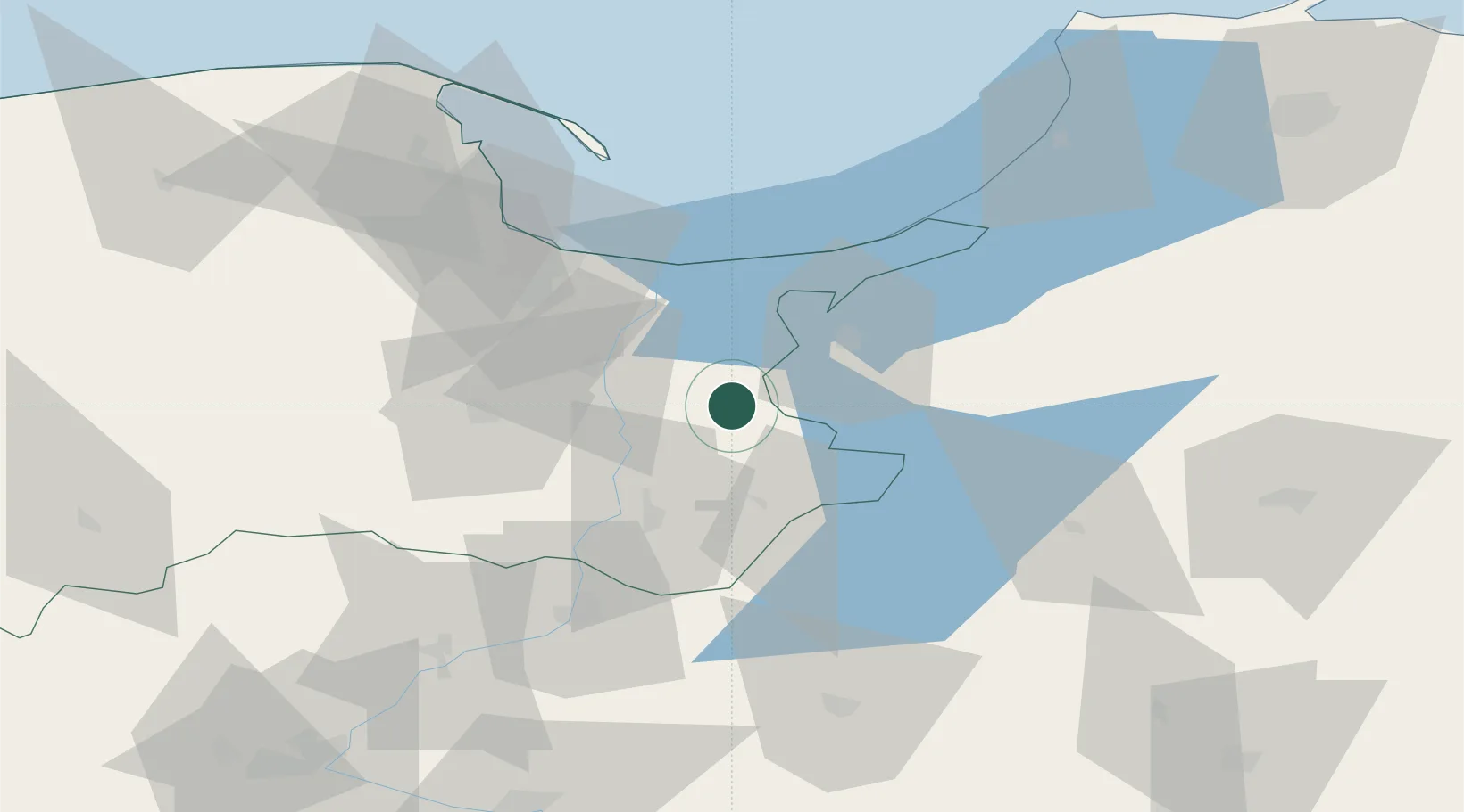
Hub Profile
Place type
Populated place
Region
Pomerania
Time zone
Europe/Warsaw
Elevation
13 m
Location
Nearby Logistics Neighbours
Cities
- 1Lubiszewo20 km
- 2Elblag25 km
- 3Bogaczewo32 km
- 4Paslek36 km
- 5Starogard Gdanski39 km
Ports
- 1Gdansk49 km
- 2Nowy Port55 km
- 3Gdynia70 km
- 4Baltiysk86 km
- 5Kaliningrad117 km
Airports
Trade Zones
DatabookThe Record of Consolidated Knowledge
Poland beyond logistics?