Transport Functions
Rail
Road
Hub Profile
Place type
Provincial seat
Region
Lesser Poland
Population
33,763
Time zone
Europe/Warsaw
Elevation
595 m
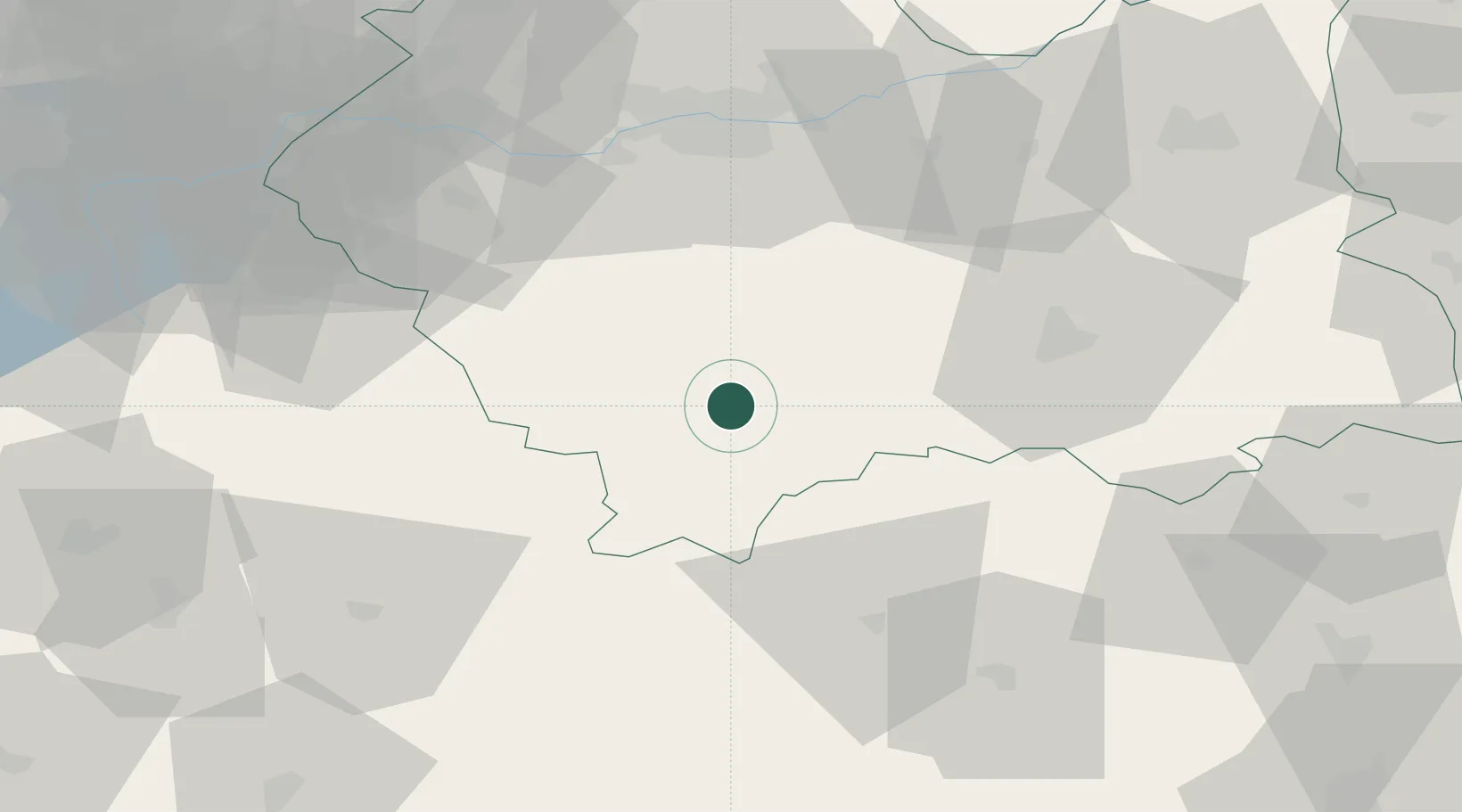
Location
Nearby Logistics Neighbours
Cities
- 1Poronin17 km
- 2Jordanów24 km
- 3Spisská Stará Ves26 km
- 4Maków Podhalanski38 km
- 5Limanowa38 km
Airports
- 1Poprad-Tatry Airport48 km
- 2Kraków John Paul II International Airport69 km
- 3Žilina-Dolný Hričov Airport107 km
- 4Sliač Airport115 km
- 5Košice International Airport127 km
Trade Zones
- 1Kraków Technology Park61 km
- 2Katowice SEZ (Katowicka SSE)117 km
- 3Karvinská Specialized Economic Zone118 km
- 4Silesian Center for Logistics138 km
- 5Euro-Park Mielec138 km
DatabookThe Record of Consolidated Knowledge
Poland beyond logistics?