Transport Functions
Multimodal
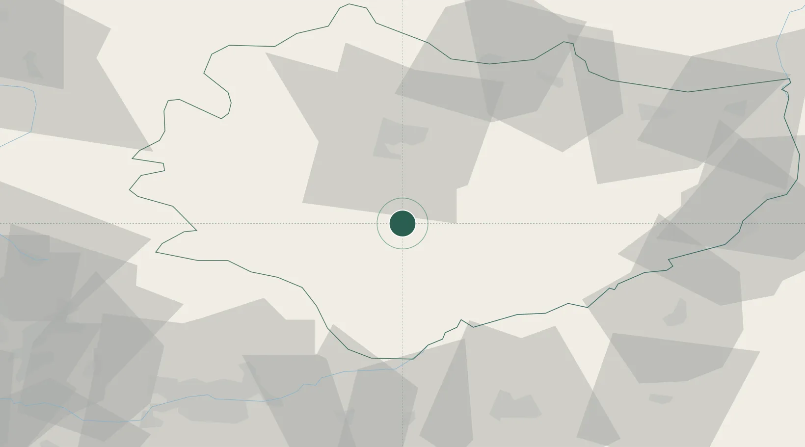
Hub Profile
Place type
Populated place
Region
Świętokrzyskie
Population
225
Time zone
Europe/Warsaw
Elevation
242 m
Location
Nearby Logistics Neighbours
Cities
- 1Busko-Zdrój17 km
- 2Jedrzejow22 km
- 3Dzialoszyce31 km
- 4Solec-Zdrój34 km
- 5Staszów42 km
Ports
- 1Gdansk437 km
- 2Nowy Port444 km
- 3Baltiysk451 km
- 4Kaliningrad456 km
- 5Gdynia459 km
Airports
Trade Zones
DatabookThe Record of Consolidated Knowledge
Poland beyond logistics?