Transport Functions
Rail
Road
Hub Profile
Place type
District seat
Region
West Pomerania
Population
15,733
Time zone
Europe/Warsaw
Elevation
54 m
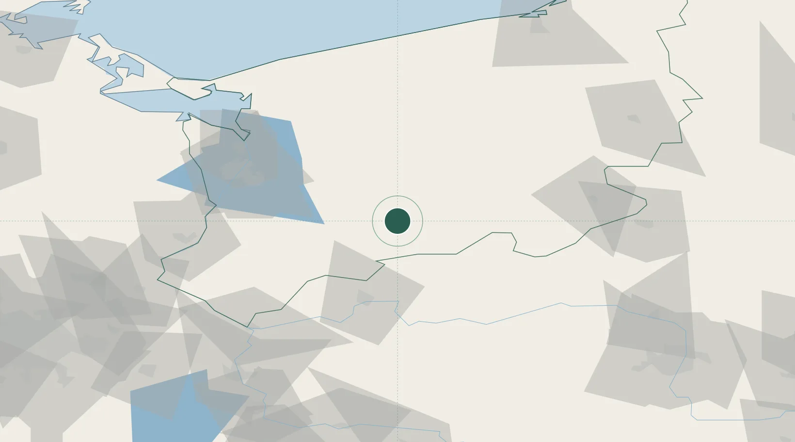
Location
Nearby Logistics Neighbours
Ports
- 1Szczecin64 km
- 2Police72 km
- 3Swinoujscie113 km
- 4Kolobrzeg117 km
- 5Wolgast146 km
Airports
Trade Zones
- 1Szczecin Duty Free Zone63 km
- 2Kostrzyń-Słubice SEZ82 km
- 3Swinoujscie Duty Free Zone111 km
- 4Słupsk SEZ (Słupska SSE)179 km
- 5Legnica SEZ (Legnicka SSE)213 km
DatabookThe Record of Consolidated Knowledge
Poland beyond logistics?