Transport Functions
Multimodal
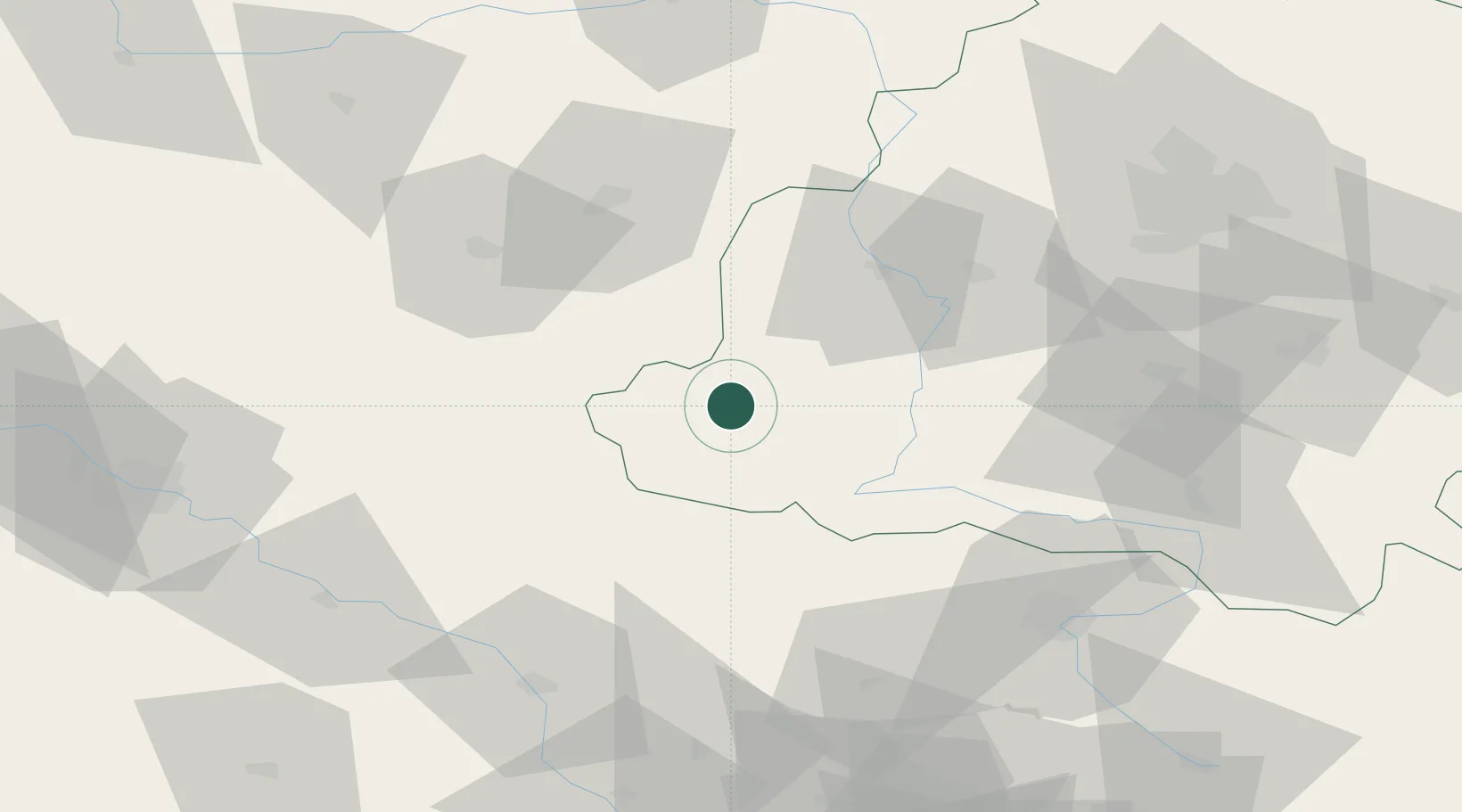
Hub Profile
Place type
Populated place
Region
Łódź Voivodeship
Population
1,100
Time zone
Europe/Warsaw
Elevation
182 m
Location
Nearby Logistics Neighbours
Cities
- 1Wieruszów17 km
- 2Braszewice23 km
- 3Wierzchlas23 km
- 4Kepno28 km
- 5Ostrzeszów33 km
Airports
Trade Zones
DatabookThe Record of Consolidated Knowledge
Poland beyond logistics?