Transport Functions
Multimodal
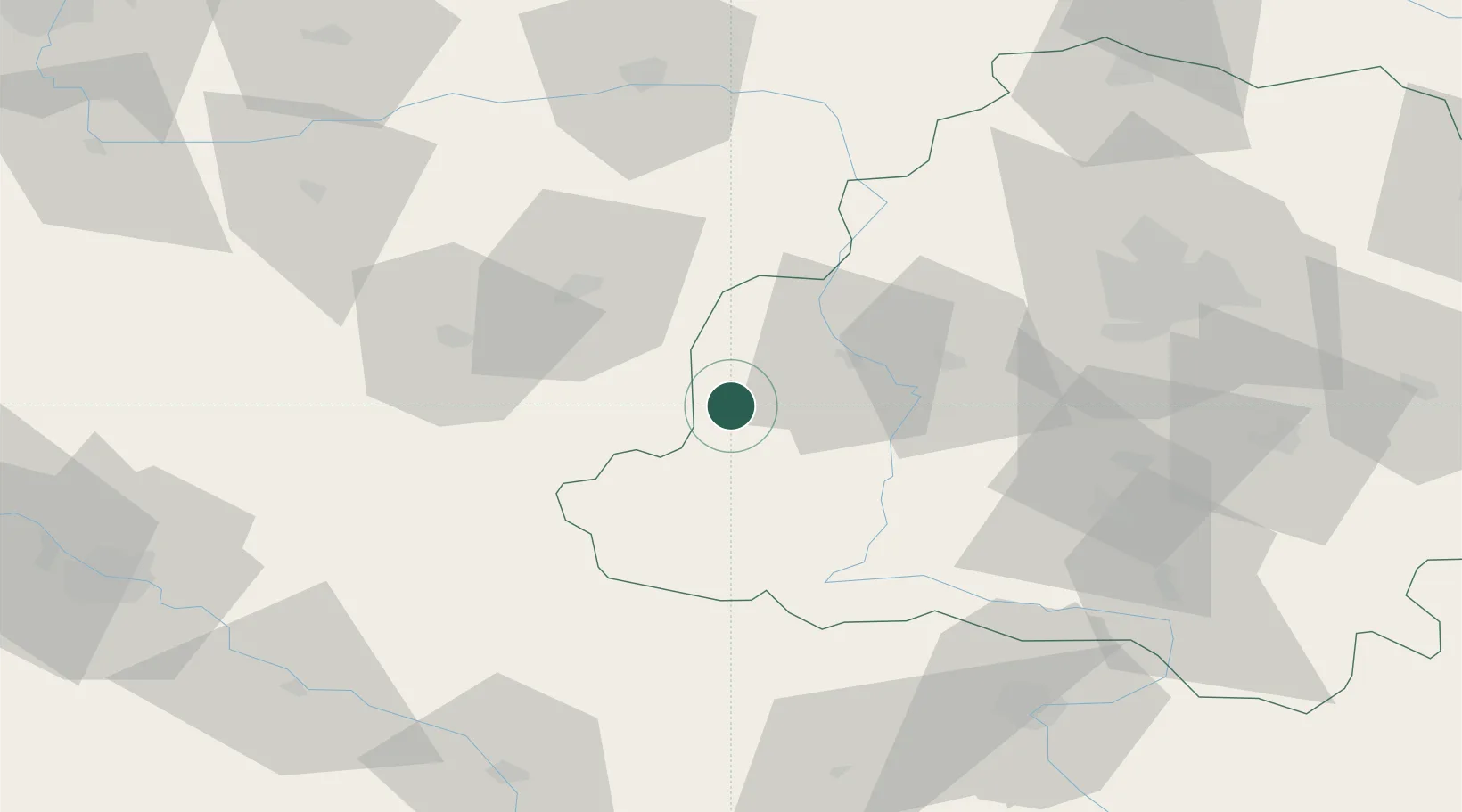
Hub Profile
Place type
District seat
Region
Łódź Voivodeship
Population
1,100
Time zone
Europe/Warsaw
Elevation
170 m
Location
Nearby Logistics Neighbours
Cities
- 1Walichnowy23 km
- 2Burzenin27 km
- 3Wieruszów31 km
- 4Zloczew32 km
- 5Wierzchlas35 km
Airports
- 1Łask Air Base51 km
- 2Łódź Władysław Reymont Airport70 km
- 3Leźnica Wielka Air Base74 km
- 4Powidz Military Air Base106 km
- 5Tomaszów Mazowiecki Military Air Base114 km
Trade Zones
DatabookThe Record of Consolidated Knowledge
Poland beyond logistics?