Transport Functions
Multimodal
Hub Profile
Place type
District seat
Region
Łódź Voivodeship
Population
2,012
Time zone
Europe/Warsaw
Elevation
162 m
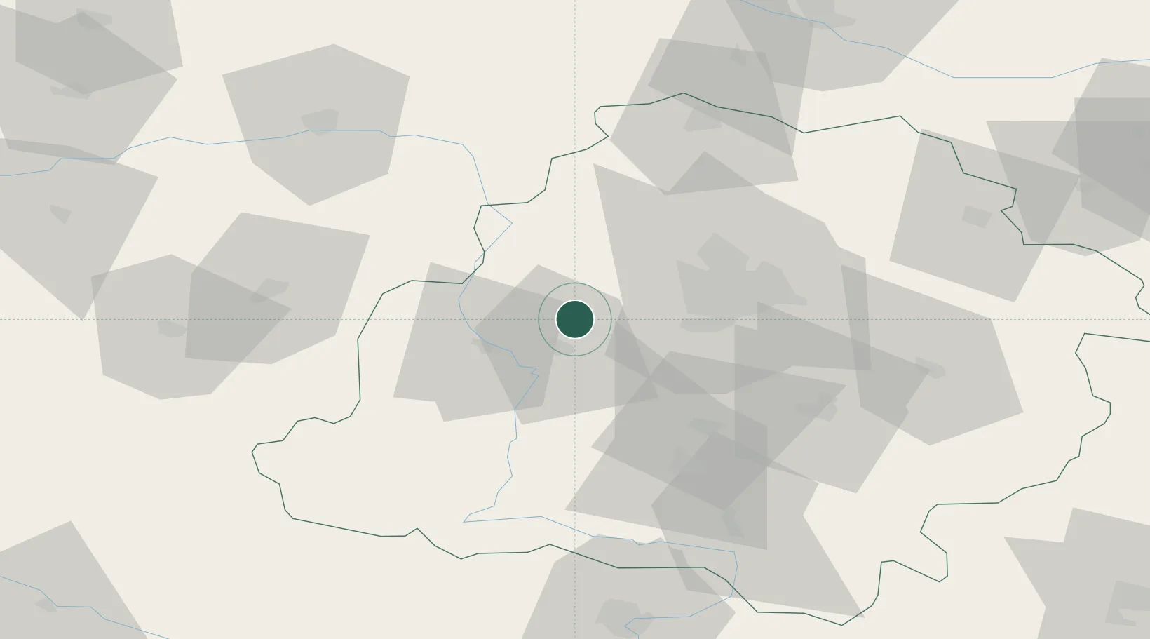
Location
Nearby Logistics Neighbours
Cities
- 1Lutomiersk17 km
- 2Pabianice25 km
- 3Aleksandrów Lodzki26 km
- 4Burzenin28 km
- 5Ksawerów30 km
Ports
- 1Gdansk297 km
- 2Nowy Port305 km
- 3Gdynia318 km
- 4Baltiysk334 km
- 5Kaliningrad350 km
Airports
Trade Zones
DatabookThe Record of Consolidated Knowledge
Poland beyond logistics?