Transport Functions
Rail
Road
Hub Profile
Place type
District seat
Region
Mazovia
Population
10,777
Time zone
Europe/Warsaw
Elevation
113 m
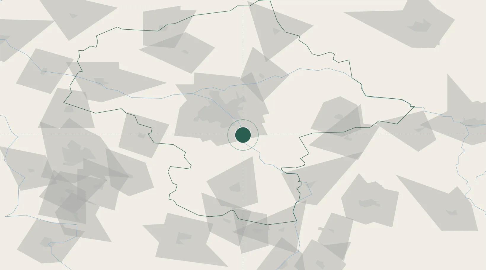
Location
Nearby Logistics Neighbours
Cities
- 1Sobienie Jeziory8 km
- 2Baniocha9 km
- 3Karczew11 km
- 4Otwock13 km
- 5Konstancin-Jeziorna14 km
Ports
- 1Kaliningrad306 km
- 2Baltiysk308 km
- 3Gdansk314 km
- 4Nowy Port320 km
- 5Gdynia335 km
Airports
- 1Warsaw Chopin Airport27 km
- 2Minsk Mazowiecki Military Air Base37 km
- 3Warsaw Modlin Airport65 km
- 4Warsaw Radom Airport66 km
- 5Deblin Military Air Base66 km
Trade Zones
DatabookThe Record of Consolidated Knowledge
Poland beyond logistics?