UN/LOCODE hub · Poland
PLBEK

Bielinek

52.9333°, 14.1500°
210
Population
1
Transport functions

Transport Functions

Port
UN/LOCODE

Hub Profile

Place type
Populated place
GeoNames
Region
West Pomerania
GeoNames
Population
210
GeoNames
Time zone
Europe/Warsaw
GeoNames
Elevation
21 m
GeoNames

Location

Location of PLBEK
Natural Earth 10m (public domain) · West Pomerania · PLBEK · 52.93, 14.15GoogleOSMYandex

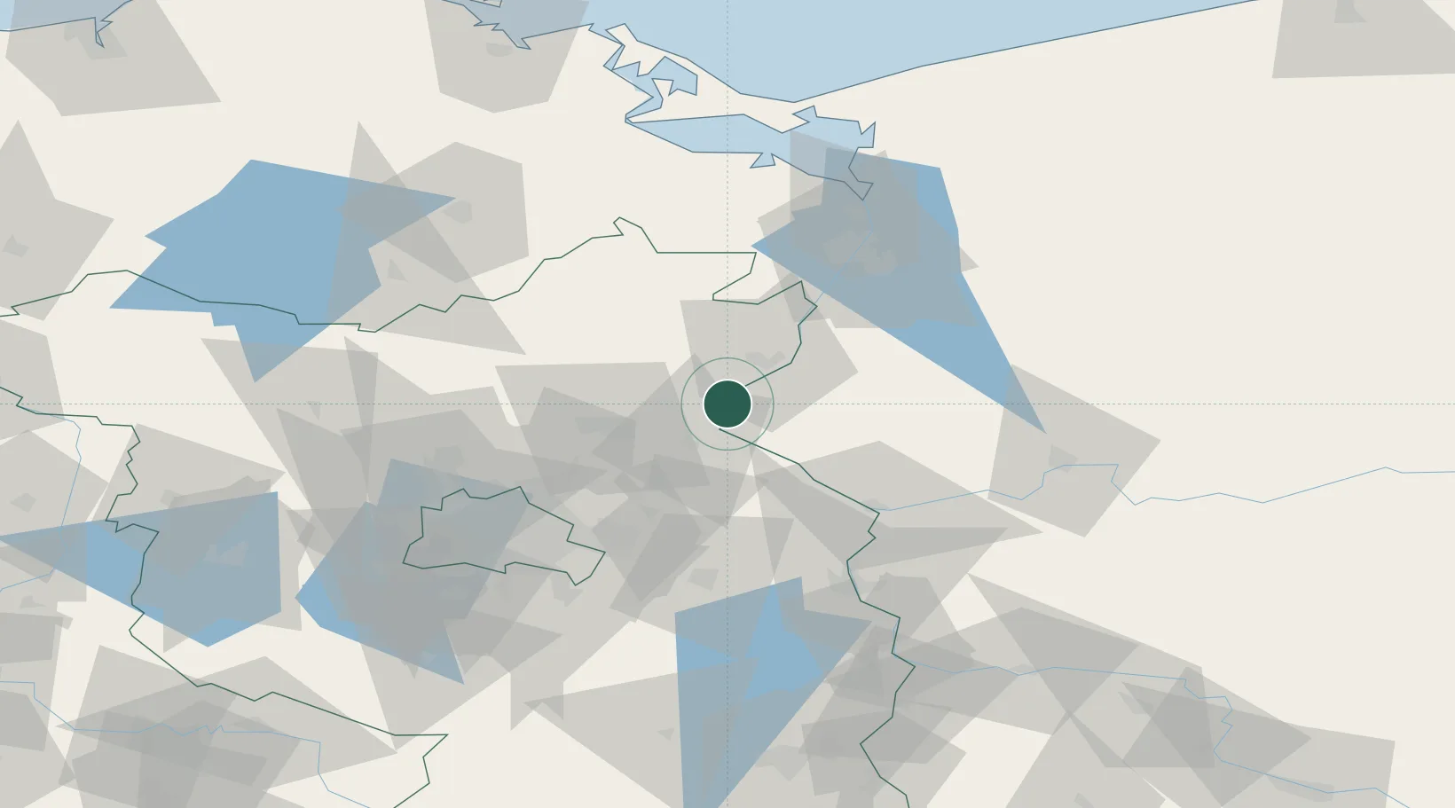
Nearby Logistics Neighbours

Cities
  1. 1Lunow3 km
  2. 2Hohensaaten7 km
  3. 3Osinów Dolny9 km
  4. 4Bralitz15 km
  5. 5Schwedt17 km
Nearest neighbours — logibook spatial index (haversine) over the source coordinates
Ports
  1. 1Szczecin60 km
  2. 2Police76 km
  3. 3Swinoujscie110 km
  4. 4Wolgast127 km
  5. 5Stralsund169 km
Nearest neighbours — logibook spatial index (haversine) over the source coordinates
Airports
  1. 1Berlin Brandenburg Airport77 km
  2. 2Solidarity Szczecin–Goleniów Airport88 km
  3. 3Neubrandenburg Trollenhagen Airport93 km
  4. 4Heringsdorf Airport105 km
  5. 5Miroslawiec Military Air Base139 km
Nearest neighbours — logibook spatial index (haversine) over the source coordinates
Trade Zones
  1. 1Kostrzyń-Słubice SEZ50 km
  2. 2Szczecin Duty Free Zone61 km
  3. 3Swinoujscie Duty Free Zone108 km
  4. 4Legnica SEZ (Legnicka SSE)221 km
  5. 5Słupsk SEZ (Słupska SSE)255 km
Nearest neighbours — logibook spatial index (haversine) over the source coordinates
DatabookThe Record of Consolidated Knowledge
Poland beyond logistics?
Browse databook

All Sources

LocationsUN/LOCODE
UN/LOCODE — free
LocationsGeoNames
CC BY 4.0
Portsthe NGA World Port Index
Public domain (US gov)
AirportsOurAirports
Public domain
Trade Zonesthe World Bank SEZ database
CC BY 4.0
Trade ZonesOpen Zone Map
CC BY
← Poland locations