Diversified Zone · Philippines

Mira Nila Ecozone Under Development
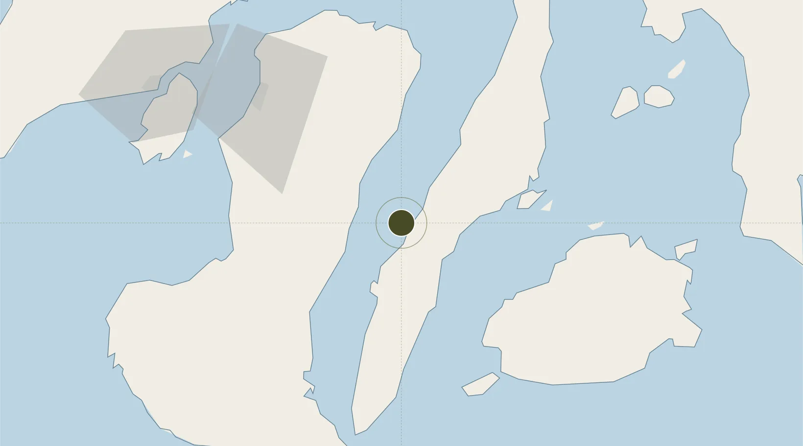
10.2008°, 123.5006°
3,030 ha
Zone area
23.5 km
Nearest port
53.8 km
Nearest airport

Gateway access

Nearest neighbours — logibook spatial index (haversine) over the source coordinates

Zone profile

Zone type
Diversified Zone
Open Zone Map
Region
Cebu
Open Zone Map
Status
Under Development
Open Zone Map
Management
Public-Private Partnership
Open Zone Map
Operator
Mira Nila Land Devt., Corp
Open Zone Map
Legal framework
Special Economic Zone Act (Republic Act No. 7916) (as amended by Republic Act No. 8748)
Open Zone Map

Location

Location of ozm-3231
Natural Earth 10m (public domain) · Cebu · ozm-3231 · 10.20, 123.50GoogleOSMYandex

Nearby Logistics Neighbours

Ports
  1. 1Toledo24 km
  2. 2San Carlos33 km
  3. 3Cebu45 km
  4. 4Tubigan58 km
  5. 5Tagbilaran72 km
Nearest neighbours — logibook spatial index (haversine) over the source coordinates
Airports
  1. 1Mactan Cebu International Airport54 km
  2. 2Bohol-Panglao International Airport76 km
  3. 3Bacolod-Silay International Airport83 km
  4. 4Sibulan Airport99 km
  5. 5Iloilo International Airport131 km
Nearest neighbours — logibook spatial index (haversine) over the source coordinates
Cities
  1. 1Guihulngan26 km
  2. 2Buanoy34 km
  3. 3Laguna43 km
  4. 4Cebu46 km
  5. 5Mandaue, Cebu49 km
Nearest neighbours — logibook spatial index (haversine) over the source coordinates
Trade Zones
  1. 1Special Economic and Export Processing Zone of Toledo City27 km
  2. 2New Cebu Township28 km
  3. 3Naga Valley Industrial Park29 km
  4. 4San Carlos Ecozone I36 km
  5. 5West Cebu Industrial Park37 km
Nearest neighbours — logibook spatial index (haversine) over the source coordinates
DatabookThe Record of Consolidated Knowledge
Philippines beyond logistics?
Browse databook

All Sources

Trade ZonesOpen Zone Map
CC BY
Portsthe NGA World Port Index
Public domain (US gov)
AirportsOurAirports
Public domain
LocationsUN/LOCODE
UN/LOCODE — free
← Philippines trade zones