Diversified Zone · Philippines

Bacolod City Special Economic Zone Under Development
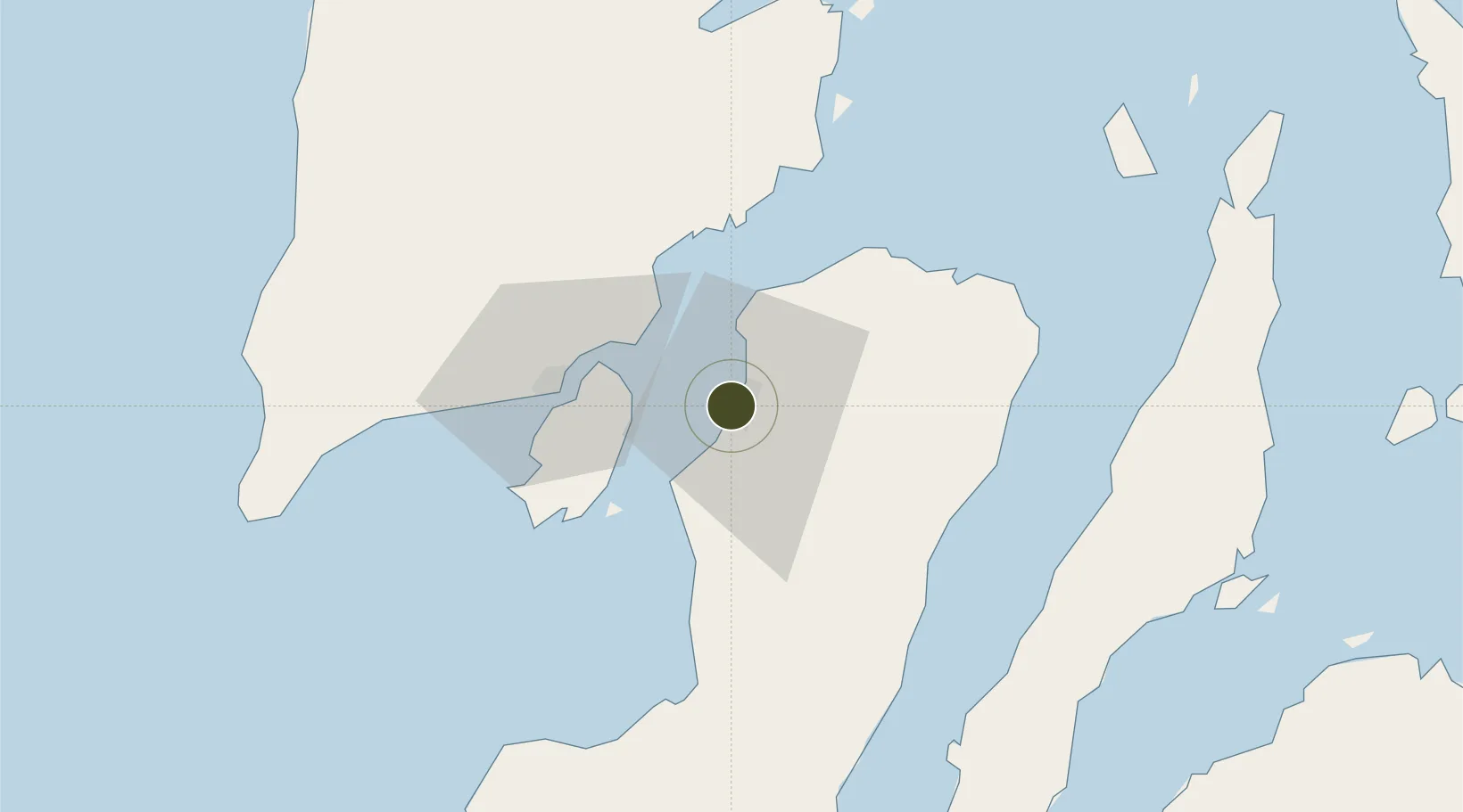
10.6707°, 122.9416°
250 ha
Zone area
23.1 km
Nearest port
14.5 km
Nearest airport

Gateway access

Nearest neighbours — logibook spatial index (haversine) over the source coordinates

Zone profile

Zone type
Diversified Zone
Open Zone Map
Region
Bacolod
Open Zone Map
Status
Under Development
Open Zone Map
Management
Public-Private Partnership
Open Zone Map
Operator
Bacolod Real Estate Development Corporation
Open Zone Map
Legal framework
Special Economic Zone Act (Republic Act No. 7916) (as amended by Republic Act No. 8748)
Open Zone Map

Location

Location of ozm-3212
Natural Earth 10m (public domain) · Bacolod · ozm-3212 · 10.67, 122.94GoogleOSMYandex

Nearby Logistics Neighbours

Ports
  1. 1Pulupandan23 km
  2. 2Iloilo39 km
  3. 3San Carlos56 km
  4. 4Toledo83 km
  5. 5Port Capiz106 km
Nearest neighbours — logibook spatial index (haversine) over the source coordinates
Airports
  1. 1Bacolod-Silay International Airport15 km
  2. 2Iloilo International Airport52 km
  3. 3Roxas Airport105 km
  4. 4Evelio Javier Airport111 km
  5. 5Mactan Cebu International Airport120 km
Nearest neighbours — logibook spatial index (haversine) over the source coordinates
Cities
  1. 1Bacolod, Negros1 km
  2. 2La Carlota28 km
  3. 3Iloilo, Panay39 km
  4. 4Ajuy56 km
  5. 5Himamaylan, Negros66 km
Nearest neighbours — logibook spatial index (haversine) over the source coordinates
Trade Zones
  1. 1The Block IT Park0 km
  2. 2SM City Bacolod IT Center0 km
  3. 3Everden Information Technology Center0 km
  4. 4Lopues San Sebastian I.T. Center1 km
  5. 5De La Rama Center1 km
Nearest neighbours — logibook spatial index (haversine) over the source coordinates
DatabookThe Record of Consolidated Knowledge
Philippines beyond logistics?
Browse databook

All Sources

Trade ZonesOpen Zone Map
CC BY
Portsthe NGA World Port Index
Public domain (US gov)
AirportsOurAirports
Public domain
LocationsUN/LOCODE
UN/LOCODE — free
← Philippines trade zones