UN/LOCODE hub · Panama
PAVAC

Vacamonte

8.8667°, -79.6667°
2
Transport functions

Transport Functions

Port
Road
Vacamonte is also a profiled seaport →
UN/LOCODE

Hub Profile

Place type
Urban district
GeoNames
Region
Panamá Oeste Province
GeoNames
Time zone
America/Panama
GeoNames
Elevation
10 m
GeoNames

Location

Location of PAVAC
Natural Earth 10m (public domain) · Panamá Oeste Province · PAVAC · 8.87, -79.67GoogleOSMYandex

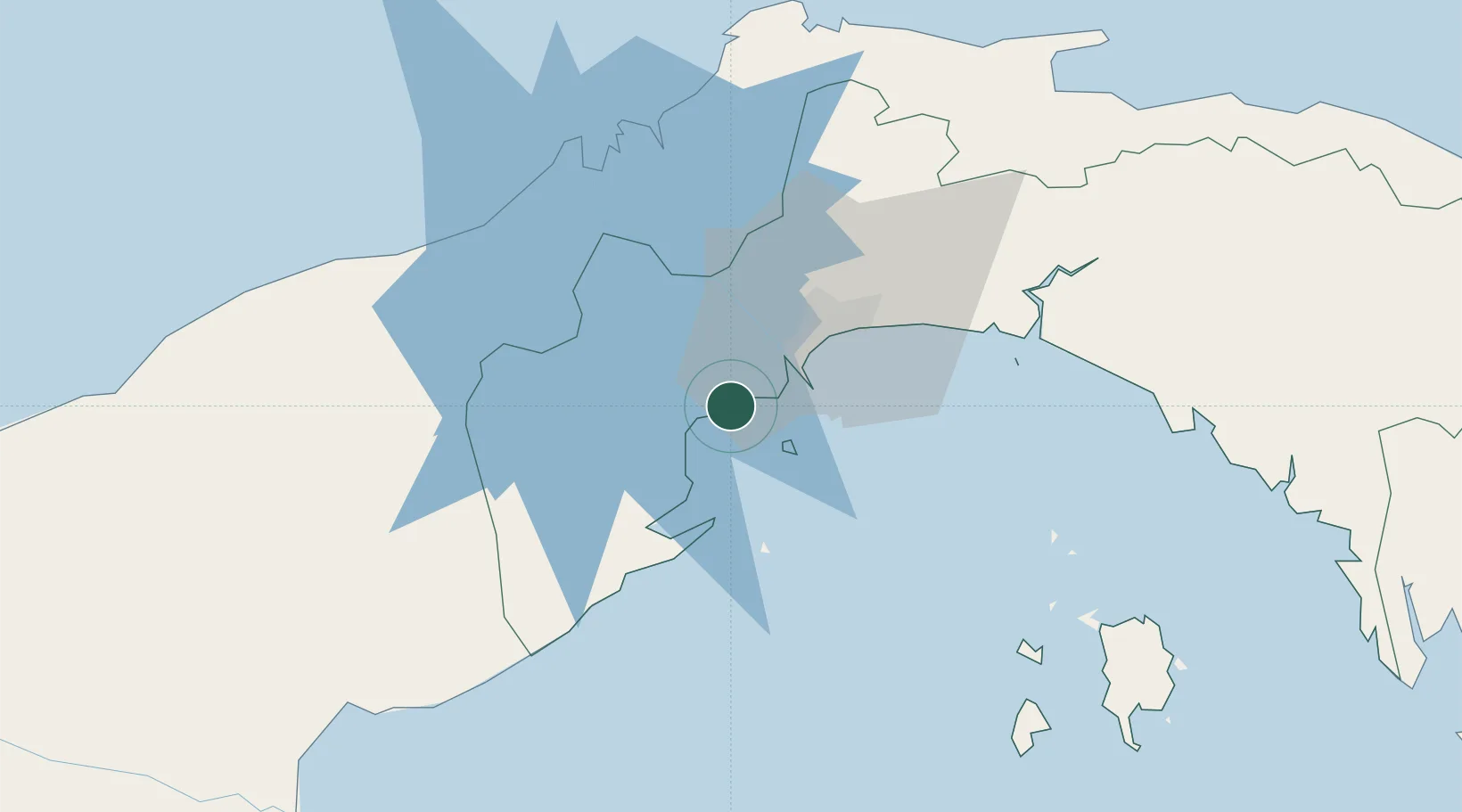
Nearby Logistics Neighbours

Cities
  1. 1Puerto Caimito6 km
  2. 2Howard9 km
  3. 3Melones10 km
  4. 4Rodman14 km
  5. 5Balboa15 km
Nearest neighbours — logibook spatial index (haversine) over the source coordinates
Ports
  1. 1Balboa14 km
  2. 2Puerto Cristobal60 km
  3. 3Puerto Colon61 km
  4. 4Bahia De Las Minas62 km
  5. 5Punta Rincon115 km
Nearest neighbours — logibook spatial index (haversine) over the source coordinates
Airports
  1. 1Panamá Pacífico International Airport9 km
  2. 2Marcos A. Gelabert International Airport17 km
  3. 3Tocumen International Airport39 km
  4. 4Enrique Adolfo Jimenez Airport59 km
  5. 5Raul Arias Espinoza Airport74 km
Nearest neighbours — logibook spatial index (haversine) over the source coordinates
Trade Zones
  1. 1Panamá Pacífico Special Economic Area10 km
  2. 2Zona Franca Marpesca Corozal16 km
  3. 3City of Knowledge (Ciudad del Saber)17 km
  4. 4Zona Franca de Albrook18 km
  5. 5Zona Franca Eurofusión21 km
Nearest neighbours — logibook spatial index (haversine) over the source coordinates
DatabookThe Record of Consolidated Knowledge
Panama beyond logistics?
Browse databook

All Sources

LocationsUN/LOCODE
UN/LOCODE — free
Portsthe NGA World Port Index
Public domain (US gov)
AirportsOurAirports
Public domain
Trade Zonesthe World Bank SEZ database
CC BY 4.0
Trade ZonesOpen Zone Map
CC BY
← Panama locations