UN/LOCODE hub · Panama
PAMEL

Melones

8.8000°, -79.6000°
1
Transport functions

Transport Functions

Port
UN/LOCODE

Hub Profile

Region
8
GeoNames

Location

Location of PAMEL
Natural Earth 10m (public domain) · 8 · PAMEL · 8.80, -79.60GoogleOSMYandex

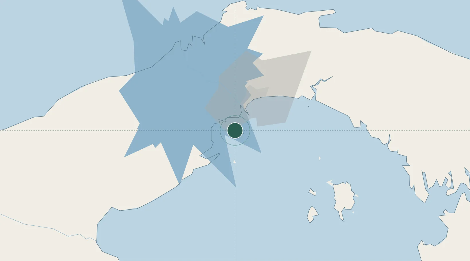
Nearby Logistics Neighbours

Cities
  1. 1Vacamonte10 km
  2. 2Taboguilla11 km
  3. 3Howard13 km
  4. 4Puerto Caimito15 km
  5. 5Rodman18 km
Nearest neighbours — logibook spatial index (haversine) over the source coordinates
Ports
  1. 1Vacamonte10 km
  2. 2Balboa17 km
  3. 3Puerto Colon70 km
  4. 4Puerto Cristobal70 km
  5. 5Bahia De Las Minas71 km
Nearest neighbours — logibook spatial index (haversine) over the source coordinates
Airports
  1. 1Panamá Pacífico International Airport13 km
  2. 2Marcos A. Gelabert International Airport20 km
  3. 3Tocumen International Airport38 km
  4. 4Raul Arias Espinoza Airport65 km
  5. 5Enrique Adolfo Jimenez Airport69 km
Nearest neighbours — logibook spatial index (haversine) over the source coordinates
Trade Zones
  1. 1Panamá Pacífico Special Economic Area12 km
  2. 2Zona Franca Marpesca Corozal20 km
  3. 3Zona Franca de Albrook21 km
  4. 4City of Knowledge (Ciudad del Saber)22 km
  5. 5Zona Franca Eurofusión24 km
Nearest neighbours — logibook spatial index (haversine) over the source coordinates
DatabookThe Record of Consolidated Knowledge
Panama beyond logistics?
Browse databook

All Sources

LocationsUN/LOCODE
UN/LOCODE — free
Portsthe NGA World Port Index
Public domain (US gov)
AirportsOurAirports
Public domain
Trade Zonesthe World Bank SEZ database
CC BY 4.0
Trade ZonesOpen Zone Map
CC BY
← Panama locations