UN/LOCODE hub · Panama
PABLB
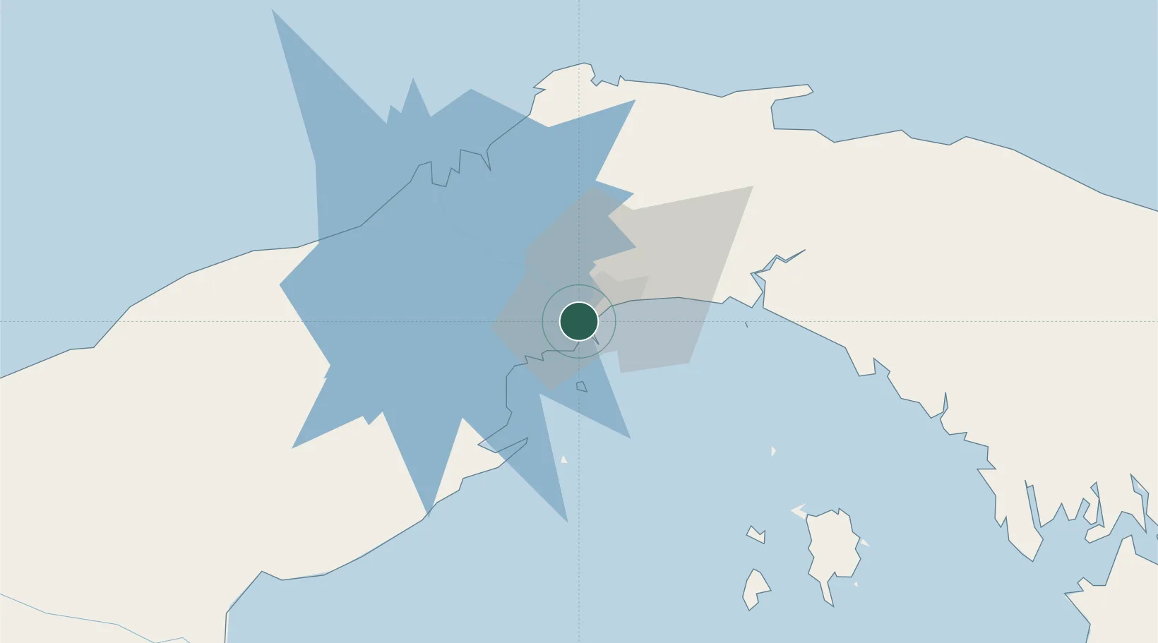
Balboa
8.9588°, -79.5640°
807
Population
1
Transport functions
1
Container terminals
Transport Functions
Port
Hub Profile
Place type
Populated place
Region
Panamá
Population
807
Time zone
America/Panama
Elevation
4 m
Logistics facilities
2
Container terminals
1
Location
Nearby Logistics Neighbours
Cities
- 1Rodman1 km
- 2Ancon2 km
- 3Panamá, Ciudad de2 km
- 4Howard6 km
- 5El Dorado7 km
Ports
- 1Vacamonte15 km
- 2Bahia De Las Minas56 km
- 3Puerto Colon57 km
- 4Puerto Cristobal58 km
- 5Punta Rincon125 km
Airports
DatabookThe Record of Consolidated Knowledge
Panama beyond logistics?