Transport Functions
Port
Road
Hub Profile
Place type
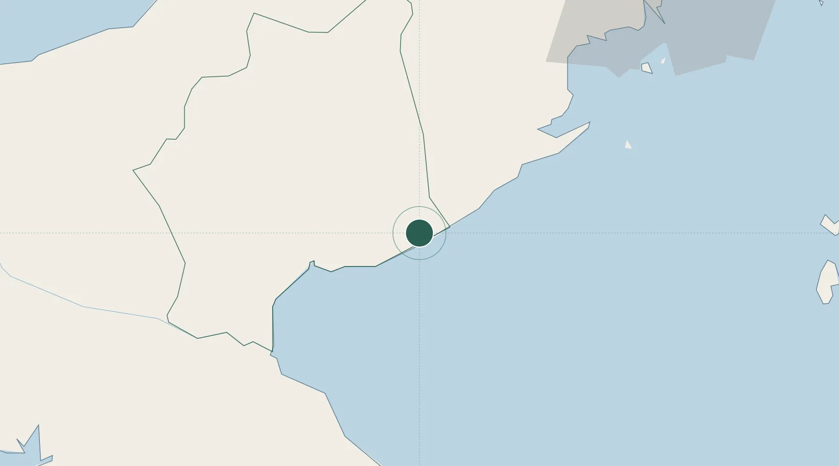
Populated place
Region
Coclé
Population
597
Time zone
America/Panama
Elevation
28 m
Location
Nearby Logistics Neighbours
Cities
- 1Finca Santa Mónica9 km
- 2Río Grande41 km
- 3Chitre58 km
- 4Los Santos60 km
- 5Potuga65 km
Ports
- 1Vacamonte73 km
- 2Balboa87 km
- 3Punta Rincon95 km
- 4Puerto Cristobal110 km
- 5Puerto Colon112 km
Airports
Trade Zones
DatabookThe Record of Consolidated Knowledge
Panama beyond logistics?