Transport Functions
Port
Road
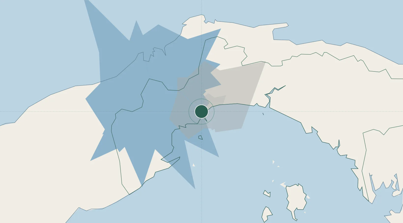
Hub Profile
Place type
Populated place
Region
Panamá
Population
20,706
Time zone
America/Panama
Elevation
67 m
Location
Nearby Logistics Neighbours
Cities
- 1Balboa2 km
- 2Panamá, Ciudad de2 km
- 3Rodman3 km
- 4El Dorado6 km
- 5Howard8 km
Ports
- 1Balboa3 km
- 2Vacamonte17 km
- 3Bahia De Las Minas56 km
- 4Puerto Colon58 km
- 5Puerto Cristobal59 km
Airports
Trade Zones
DatabookThe Record of Consolidated Knowledge
Panama beyond logistics?