UN/LOCODE hub · Panama
PAPTY

Panamá, Ciudad de

8.9762°, -79.5699°
4
Transport functions

Transport Functions

Port
Road
Airport
Postal
UN/LOCODE

Hub Profile

Region
8
GeoNames
Logistics facilities
1
UN/LOCODE

Location

Location of PAPTY
Natural Earth 10m (public domain) · 8 · PAPTY · 8.98, -79.57GoogleOSMYandex

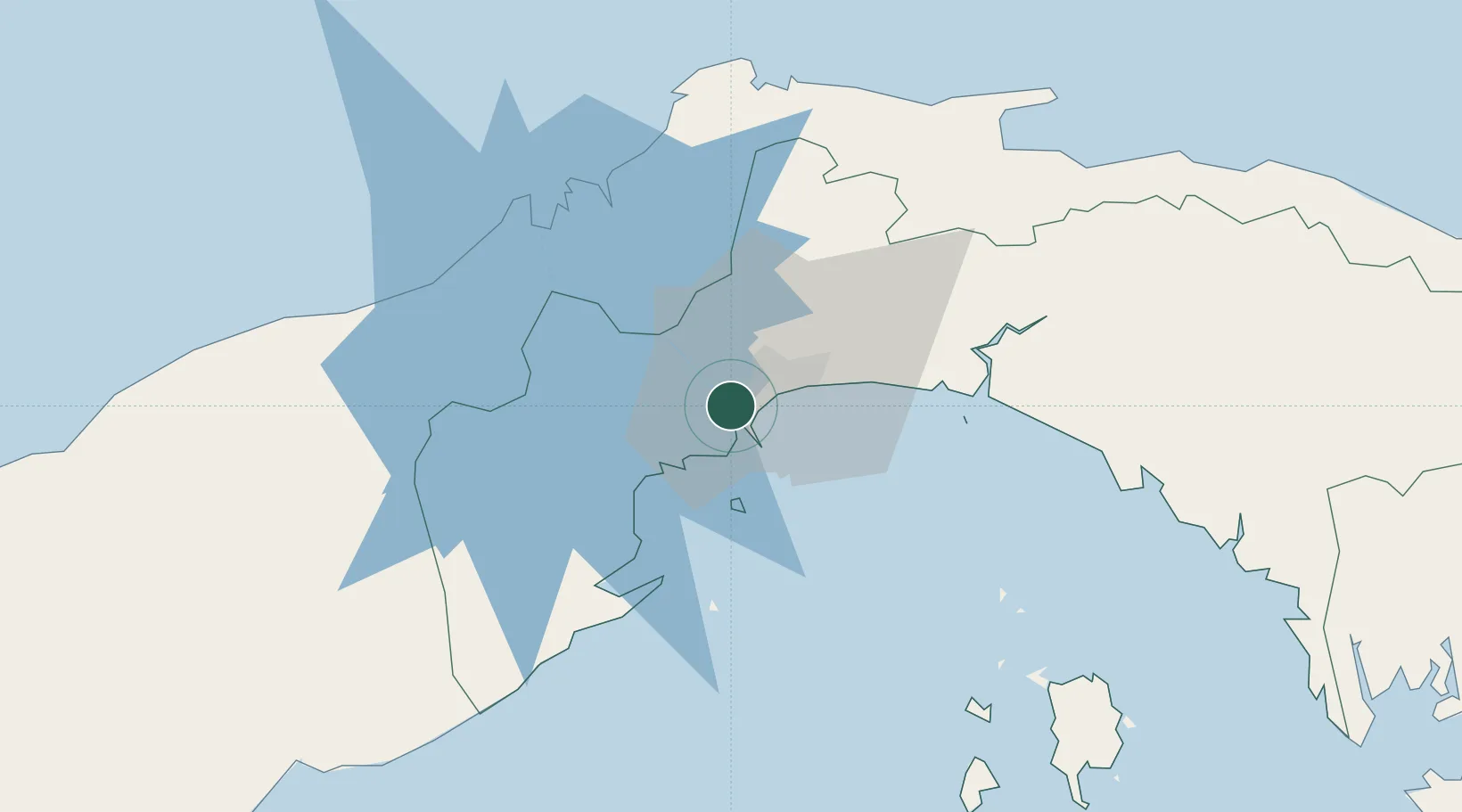
Nearby Logistics Neighbours

Cities
  1. 1Balboa2 km
  2. 2Rodman2 km
  3. 3Ancon2 km
  4. 4El Dorado5 km
  5. 5Howard7 km
Nearest neighbours — logibook spatial index (haversine) over the source coordinates
Ports
  1. 1Balboa3 km
  2. 2Vacamonte16 km
  3. 3Bahia De Las Minas54 km
  4. 4Puerto Colon55 km
  5. 5Puerto Cristobal56 km
Nearest neighbours — logibook spatial index (haversine) over the source coordinates
Airports
  1. 1Marcos A. Gelabert International Airport2 km
  2. 2Panamá Pacífico International Airport8 km
  3. 3Tocumen International Airport23 km
  4. 4Enrique Adolfo Jimenez Airport53 km
  5. 5Raul Arias Espinoza Airport70 km
Nearest neighbours — logibook spatial index (haversine) over the source coordinates
Trade Zones
  1. 1Zona Franca Marpesca Corozal0 km
  2. 2Zona Franca de Albrook2 km
  3. 3City of Knowledge (Ciudad del Saber)4 km
  4. 4Zona Franca Eurofusión5 km
  5. 5Zona Franca de Hewlett Packard6 km
Nearest neighbours — logibook spatial index (haversine) over the source coordinates
DatabookThe Record of Consolidated Knowledge
Panama beyond logistics?
Browse databook

All Sources

LocationsUN/LOCODE
UN/LOCODE — free
Portsthe NGA World Port Index
Public domain (US gov)
AirportsOurAirports
Public domain
Trade Zonesthe World Bank SEZ database
CC BY 4.0
Trade ZonesOpen Zone Map
CC BY
← Panama locations