Transport Functions
Port
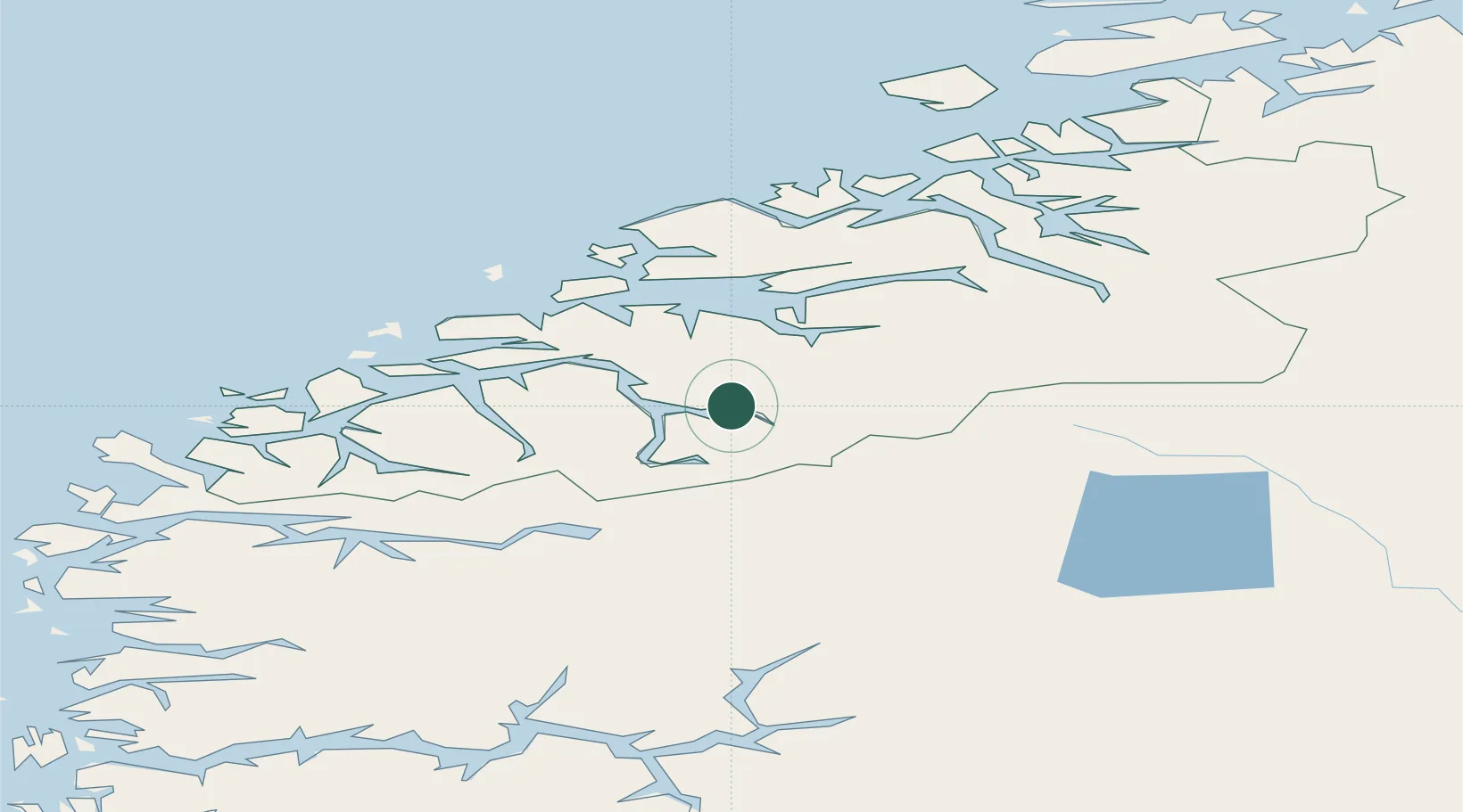
Hub Profile
Place type
Populated place
Region
Møre og Romsdal
Time zone
Europe/Oslo
Location
Nearby Logistics Neighbours
Cities
- 1Eidsdal6 km
- 2Raudbergvika12 km
- 3Stordal16 km
- 4Stranda17 km
- 5Sjøholt30 km
Airports
- 1Molde Airport, Årø49 km
- 2Ørsta-Volda Airport, Hovden63 km
- 3Ålesund Airport66 km
- 4Sandane Airport, Anda80 km
- 5Kristiansund Airport, Kvernberget95 km
Trade Zones
- 1Gothenburg Boundless Customs Warehouse570 km
- 2Jönköping Free Zone630 km
- 3Freeport of Copenhagen- Nordhavn793 km
- 4MTS Malmö Transport and Spedition815 km
- 5Freeport of Kiel902 km
DatabookThe Record of Consolidated Knowledge
Norway beyond logistics?