UN/LOCODE hub · Norway
NORBV

Raudbergvika

62.2667°, 7.0500°
1
Transport functions

Transport Functions

Port
UN/LOCODE

Hub Profile

Region
15
GeoNames

Location

Location of NORBV
Natural Earth 10m (public domain) · 15 · NORBV · 62.27, 7.05GoogleOSMYandex

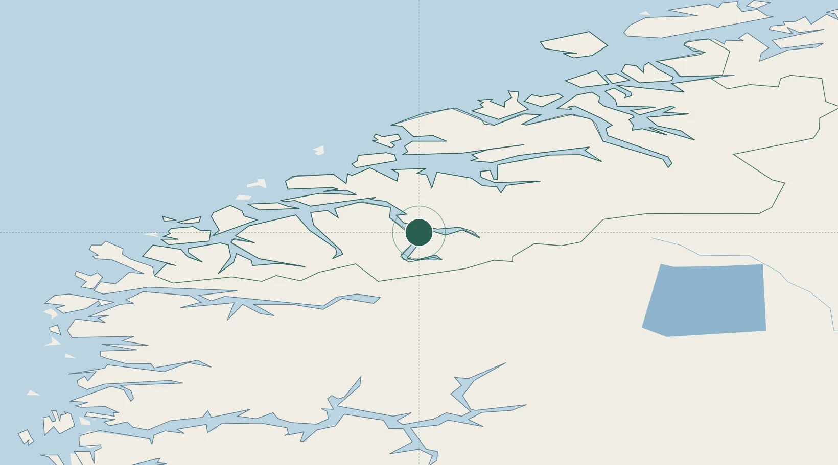
Nearby Logistics Neighbours

Cities
  1. 1Eidsdal6 km
  2. 2Stranda7 km
  3. 3Stordal12 km
  4. 4Valldal12 km
  5. 5Hellesylt23 km
Nearest neighbours — logibook spatial index (haversine) over the source coordinates
Ports
  1. 1Andalsnes47 km
  2. 2Orstav49 km
  3. 3Alesund51 km
  4. 4Molde52 km
  5. 5Hareid54 km
Nearest neighbours — logibook spatial index (haversine) over the source coordinates
Airports
  1. 1Ørsta-Volda Airport, Hovden52 km
  2. 2Molde Airport, Årø54 km
  3. 3Ålesund Airport58 km
  4. 4Sandane Airport, Anda69 km
  5. 5Kristiansund Airport, Kvernberget102 km
Nearest neighbours — logibook spatial index (haversine) over the source coordinates
Trade Zones
  1. 1Gothenburg Boundless Customs Warehouse572 km
  2. 2Jönköping Free Zone635 km
  3. 3Freeport of Copenhagen- Nordhavn794 km
  4. 4MTS Malmö Transport and Spedition817 km
  5. 5Freeport of Kiel901 km
Nearest neighbours — logibook spatial index (haversine) over the source coordinates
DatabookThe Record of Consolidated Knowledge
Norway beyond logistics?
Browse databook

All Sources

LocationsUN/LOCODE
UN/LOCODE — free
Portsthe NGA World Port Index
Public domain (US gov)
AirportsOurAirports
Public domain
Trade Zonesthe World Bank SEZ database
CC BY 4.0
Trade ZonesOpen Zone Map
CC BY
← Norway locations