Transport Functions
Port
Road
Hub Profile
Place type
Provincial seat
Region
Møre og Romsdal
Population
2,969
Time zone
Europe/Oslo
Elevation
3 m
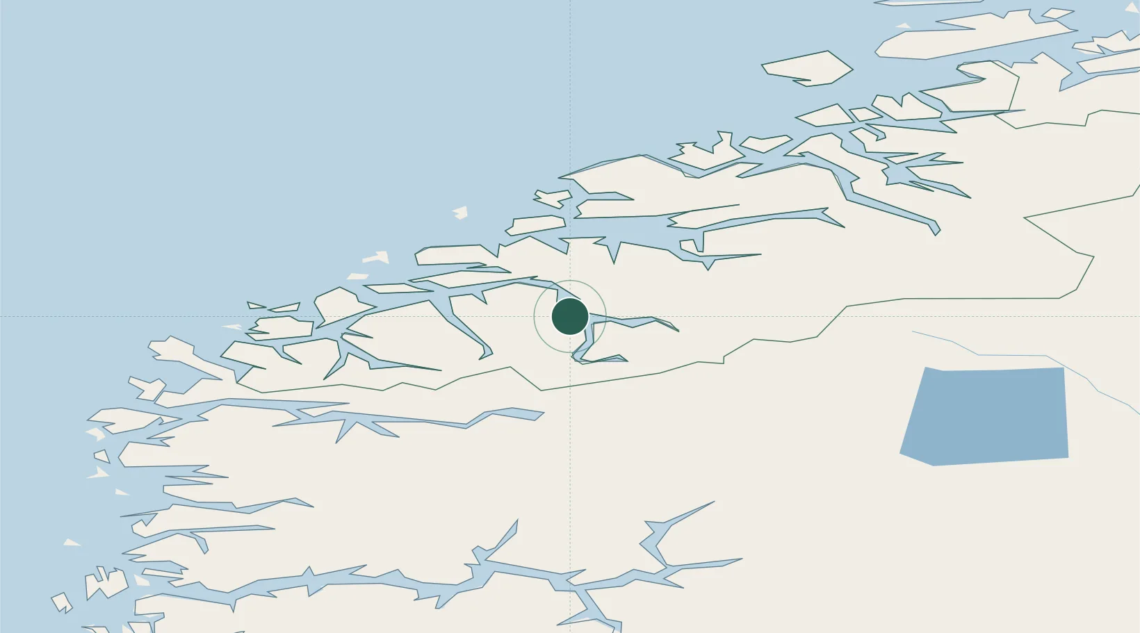
Location
Nearby Logistics Neighbours
Cities
- 1Raudbergvika7 km
- 2Stordal8 km
- 3Eidsdal13 km
- 4Valldal17 km
- 5Sövik18 km
Airports
- 1Ørsta-Volda Airport, Hovden47 km
- 2Ålesund Airport51 km
- 3Molde Airport, Årø52 km
- 4Sandane Airport, Anda68 km
- 5Kristiansund Airport, Kvernberget101 km
Trade Zones
- 1Gothenburg Boundless Customs Warehouse578 km
- 2Jönköping Free Zone641 km
- 3Freeport of Copenhagen- Nordhavn800 km
- 4MTS Malmö Transport and Spedition823 km
- 5Freeport of Kiel906 km
DatabookThe Record of Consolidated Knowledge
Norway beyond logistics?