Transport Functions
Port
Hub Profile
Place type
Populated place
Region
Møre og Romsdal
Time zone
Europe/Oslo
Elevation
3 m
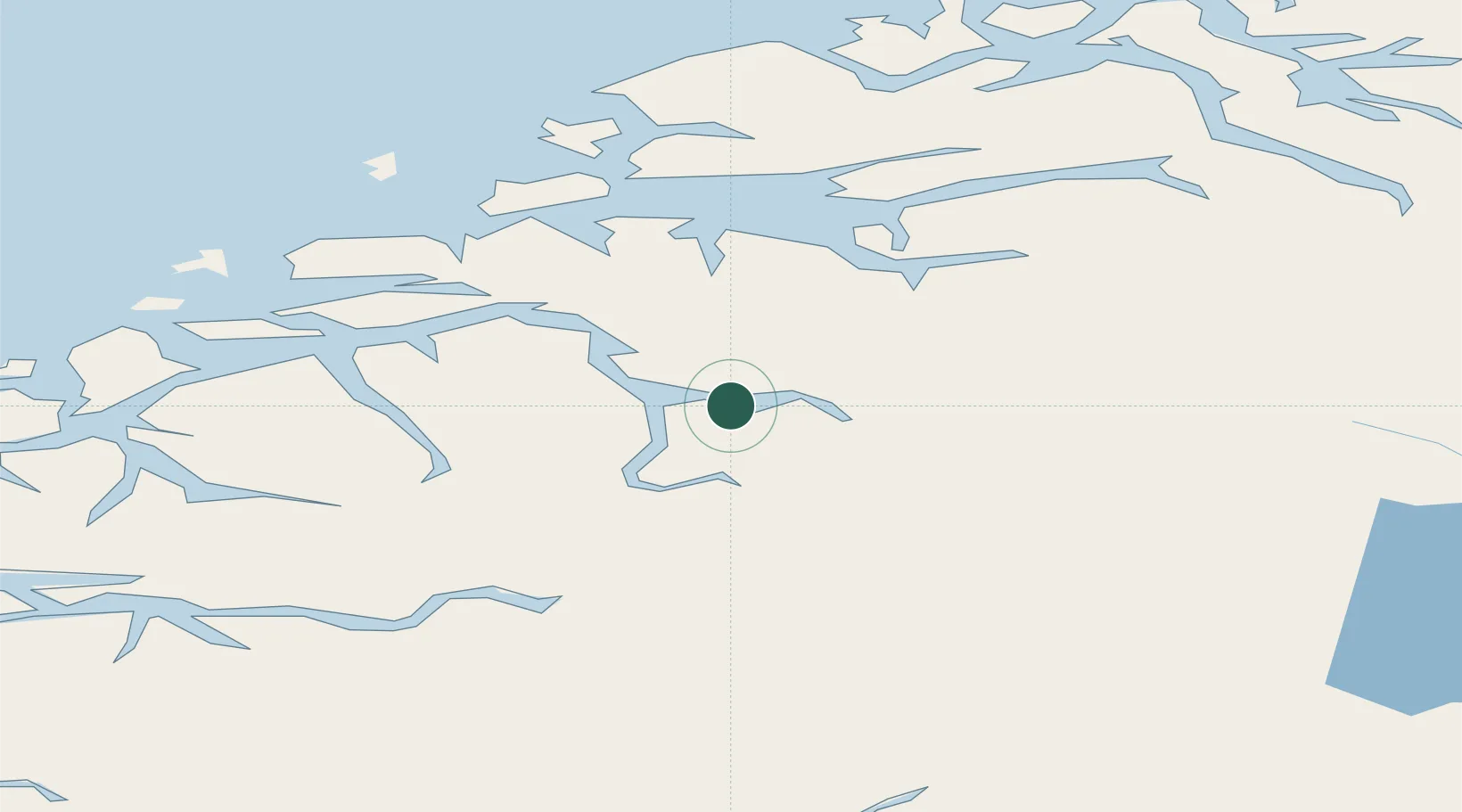
Location
Nearby Logistics Neighbours
Cities
- 1Raudbergvika6 km
- 2Valldal6 km
- 3Stranda13 km
- 4Stordal15 km
- 5Hellesylt26 km
Airports
- 1Molde Airport, Årø53 km
- 2Ørsta-Volda Airport, Hovden57 km
- 3Ålesund Airport63 km
- 4Sandane Airport, Anda74 km
- 5Kristiansund Airport, Kvernberget100 km
Trade Zones
- 1Gothenburg Boundless Customs Warehouse569 km
- 2Jönköping Free Zone631 km
- 3Freeport of Copenhagen- Nordhavn792 km
- 4MTS Malmö Transport and Spedition814 km
- 5Freeport of Kiel899 km
DatabookThe Record of Consolidated Knowledge
Norway beyond logistics?