UN/LOCODE hub · Norway
NOAKH

Rykkinn

59.9167°, 10.4667°
1
Transport functions

Transport Functions

Multimodal
UN/LOCODE

Hub Profile

Region
02
GeoNames

Location

Location of NOAKH
Natural Earth 10m (public domain) · 02 · NOAKH · 59.92, 10.47GoogleOSMYandex

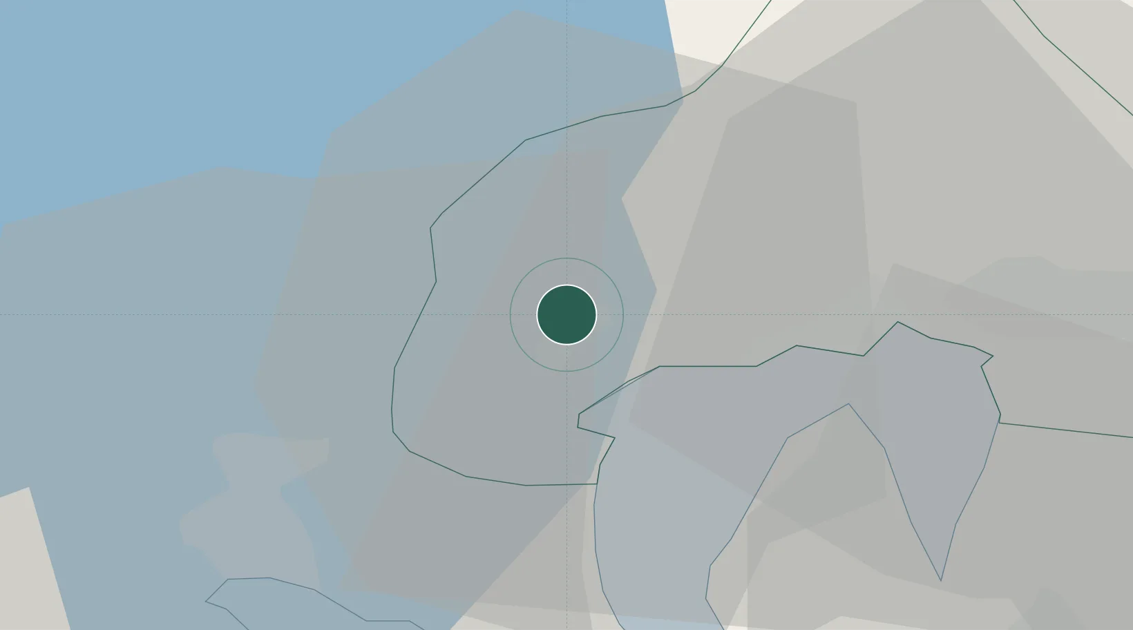
Nearby Logistics Neighbours

Cities
  1. 1Sandvika5 km
  2. 2Slependen6 km
  3. 3Lysaker8 km
  4. 4Fornebu9 km
  5. 5Snarøya9 km
Nearest neighbours — logibook spatial index (haversine) over the source coordinates
Ports
  1. 1Oslo16 km
  2. 2Fagerstrand22 km
  3. 3Drammen24 km
  4. 4Drobak30 km
  5. 5Svelvik33 km
Nearest neighbours — logibook spatial index (haversine) over the source coordinates
Airports
  1. 1Oslo-Gardermoen International Airport47 km
  2. 2Moss Airport, Rygge62 km
  3. 3Notodden Airport80 km
  4. 4Sandefjord Airport, Torp82 km
  5. 5Skien Airport96 km
Nearest neighbours — logibook spatial index (haversine) over the source coordinates
Trade Zones
  1. 1Gothenburg Boundless Customs Warehouse258 km
  2. 2Jönköping Free Zone317 km
  3. 3Stockholm Free Zone434 km
  4. 4Freeport of Copenhagen- Nordhavn484 km
  5. 5MTS Malmö Transport and Spedition504 km
Nearest neighbours — logibook spatial index (haversine) over the source coordinates
DatabookThe Record of Consolidated Knowledge
Norway beyond logistics?
Browse databook

All Sources

LocationsUN/LOCODE
UN/LOCODE — free
Portsthe NGA World Port Index
Public domain (US gov)
AirportsOurAirports
Public domain
Trade Zonesthe World Bank SEZ database
CC BY 4.0
Trade ZonesOpen Zone Map
CC BY
← Norway locations