Transport Functions
Port
Road
Hub Profile
Place type
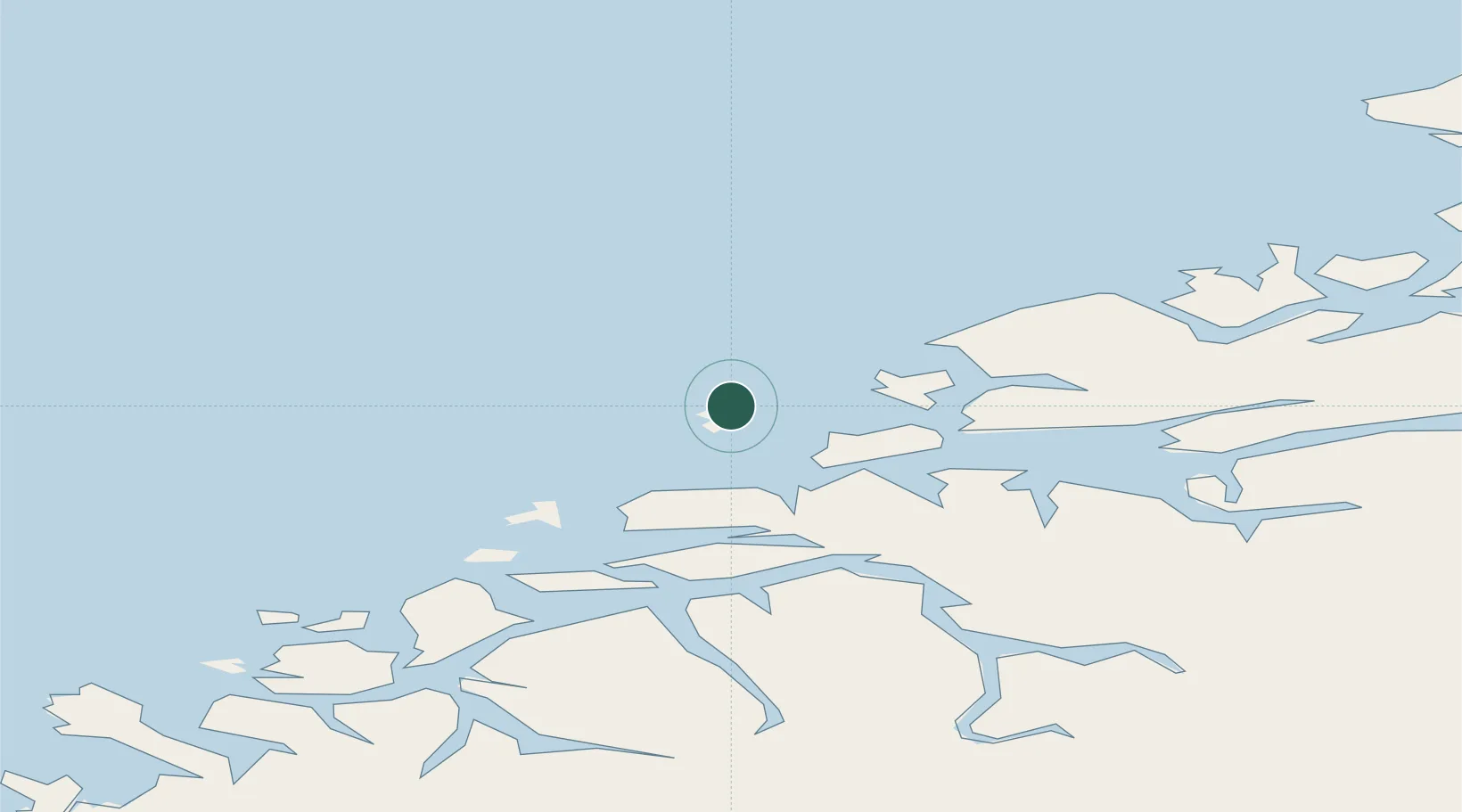
Populated place
Region
Møre og Romsdal
Population
475
Time zone
Europe/Oslo
Location
Nearby Logistics Neighbours
Airports
- 1Ålesund Airport31 km
- 2Molde Airport, Årø40 km
- 3Ørsta-Volda Airport, Hovden70 km
- 4Kristiansund Airport, Kvernberget77 km
- 5Sandane Airport, Anda108 km
Trade Zones
- 1Gothenburg Boundless Customs Warehouse636 km
- 2Jönköping Free Zone697 km
- 3Freeport of Copenhagen- Nordhavn859 km
- 4MTS Malmö Transport and Spedition881 km
- 5Freeport of Kiel963 km
DatabookThe Record of Consolidated Knowledge
Norway beyond logistics?