UN/LOCODE hub · Norway
NOFLM

Flem

62.6833°, 6.2333°
1
Transport functions

Transport Functions

Port
UN/LOCODE

Hub Profile

Region
15
GeoNames

Location

Location of NOFLM
Natural Earth 10m (public domain) · 15 · NOFLM · 62.68, 6.23GoogleOSMYandex

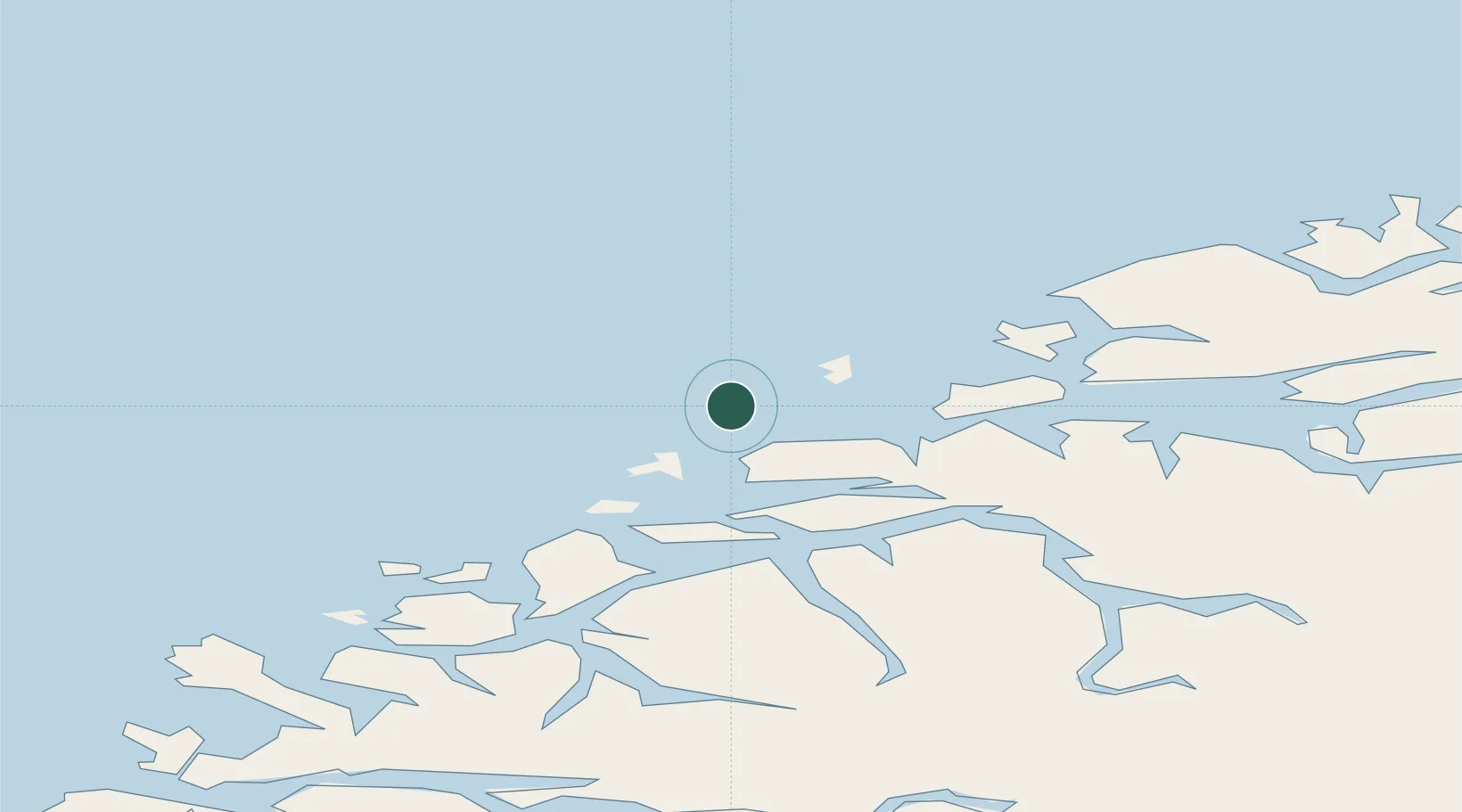
Nearby Logistics Neighbours

Cities
  1. 1Brattvåg14 km
  2. 2Steinshamn17 km
  3. 3Gjøsundet17 km
  4. 4Grytestranda18 km
  5. 5Valderøy20 km
Nearest neighbours — logibook spatial index (haversine) over the source coordinates
Ports
  1. 1Alesund24 km
  2. 2Hareid36 km
  3. 3Haroysund44 km
  4. 4Molde48 km
  5. 5Moldtustranda52 km
Nearest neighbours — logibook spatial index (haversine) over the source coordinates
Airports
  1. 1Ålesund Airport15 km
  2. 2Molde Airport, Årø53 km
  3. 3Ørsta-Volda Airport, Hovden57 km
  4. 4Kristiansund Airport, Kvernberget94 km
  5. 5Sandane Airport, Anda95 km
Nearest neighbours — logibook spatial index (haversine) over the source coordinates
Trade Zones
  1. 1Gothenburg Boundless Customs Warehouse633 km
  2. 2Jönköping Free Zone697 km
  3. 3Freeport of Copenhagen- Nordhavn855 km
  4. 4MTS Malmö Transport and Spedition878 km
  5. 5Freeport of Kiel956 km
Nearest neighbours — logibook spatial index (haversine) over the source coordinates
DatabookThe Record of Consolidated Knowledge
Norway beyond logistics?
Browse databook

All Sources

LocationsUN/LOCODE
UN/LOCODE — free
Portsthe NGA World Port Index
Public domain (US gov)
AirportsOurAirports
Public domain
Trade Zonesthe World Bank SEZ database
CC BY 4.0
Trade ZonesOpen Zone Map
CC BY
← Norway locations