Transport Functions
Port
Road
Hub Profile
Place type
Populated place
Region
Møre og Romsdal
Time zone
Europe/Oslo
Elevation
1 m
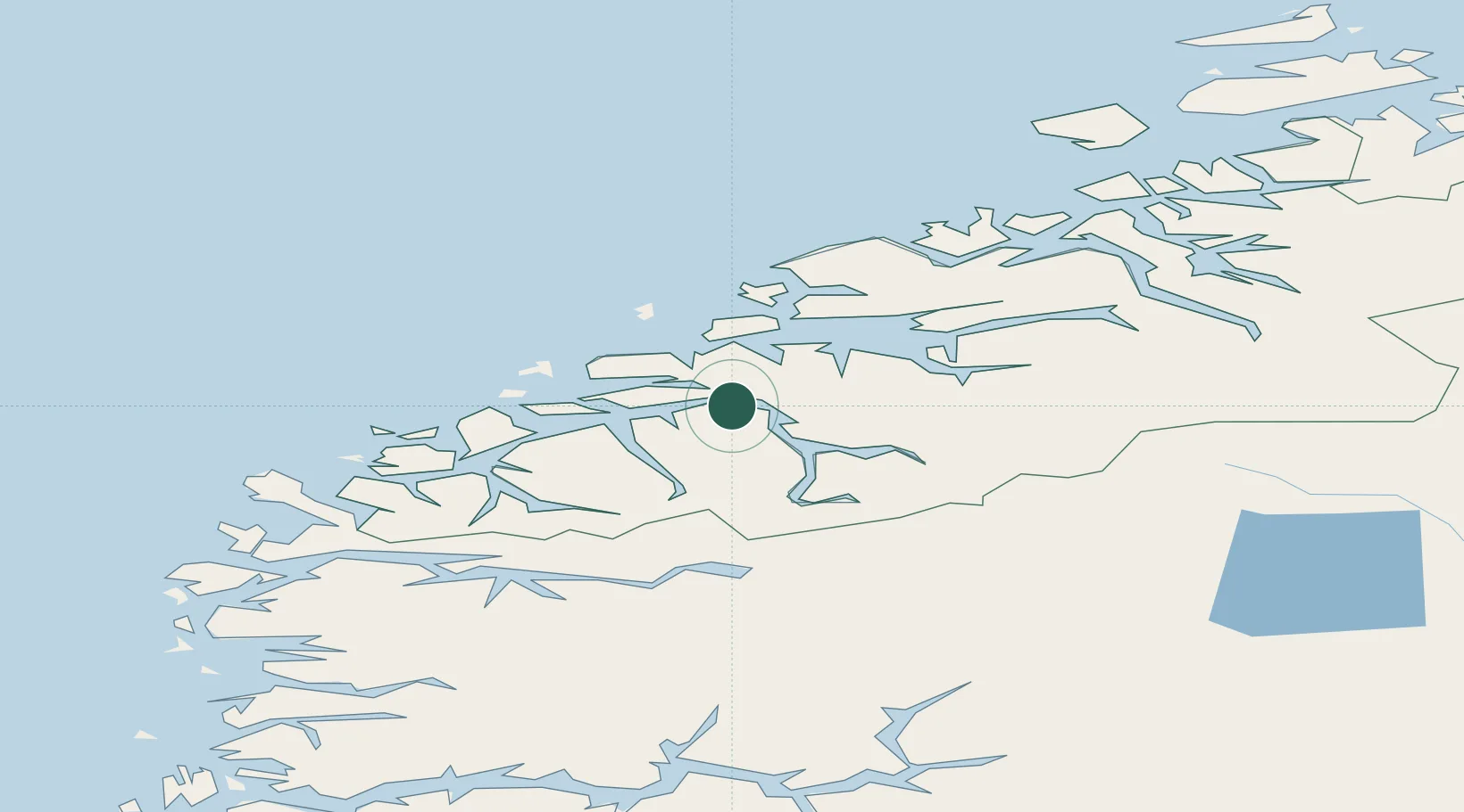
Location
Nearby Logistics Neighbours
Cities
- 1Sjøholt5 km
- 2Håeimsvika6 km
- 3Sykkylven10 km
- 4Ikornnes11 km
- 5Straumsgjerde14 km
Airports
- 1Ålesund Airport36 km
- 2Molde Airport, Årø43 km
- 3Ørsta-Volda Airport, Hovden45 km
- 4Sandane Airport, Anda75 km
- 5Kristiansund Airport, Kvernberget93 km
Trade Zones
- 1Gothenburg Boundless Customs Warehouse596 km
- 2Jönköping Free Zone659 km
- 3Freeport of Copenhagen- Nordhavn818 km
- 4MTS Malmö Transport and Spedition841 km
- 5Freeport of Kiel922 km
DatabookThe Record of Consolidated Knowledge
Norway beyond logistics?