UN/LOCODE hub · Norway
NOSRH

Skarholmen

60.4000°, 5.2000°
1
Transport functions

Transport Functions

Port
UN/LOCODE

Hub Profile

Region
12
GeoNames

Location

Location of NOSRH
Natural Earth 10m (public domain) · 12 · NOSRH · 60.40, 5.20GoogleOSMYandex

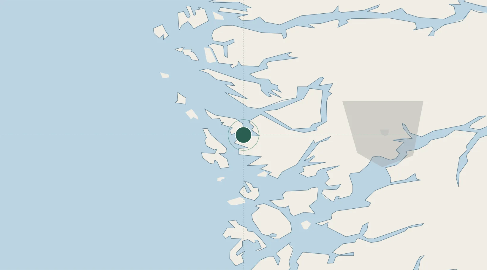
Nearby Logistics Neighbours

Cities
  1. 1Florvåg3 km
  2. 2Kleppestø3 km
  3. 3Skålevik3 km
  4. 4Horsøy4 km
  5. 5Knarrevik5 km
Nearest neighbours — logibook spatial index (haversine) over the source coordinates
Ports
  1. 1Bergen5 km
  2. 2Brattholmen6 km
  3. 3Haakonsvern8 km
  4. 4Vaksdal31 km
  5. 5Stura31 km
Nearest neighbours — logibook spatial index (haversine) over the source coordinates
Airports
  1. 1Bergen Airport, Flesland12 km
  2. 2Stord Airport, Sørstokken68 km
  3. 3Førde Airport, Bringeland114 km
  4. 4Haugesund Airport, Karmøy117 km
  5. 5Florø Airport132 km
Nearest neighbours — logibook spatial index (haversine) over the source coordinates
Trade Zones
  1. 1Gothenburg Boundless Customs Warehouse482 km
  2. 2Freeport of Copenhagen- Nordhavn678 km
  3. 3MTS Malmö Transport and Spedition707 km
  4. 4North Eastern Enterprise Zone727 km
  5. 5Freeport of Kiel737 km
Nearest neighbours — logibook spatial index (haversine) over the source coordinates
DatabookThe Record of Consolidated Knowledge
Norway beyond logistics?
Browse databook

All Sources

LocationsUN/LOCODE
UN/LOCODE — free
Portsthe NGA World Port Index
Public domain (US gov)
AirportsOurAirports
Public domain
Trade Zonesthe World Bank SEZ database
CC BY 4.0
Trade ZonesOpen Zone Map
CC BY
← Norway locations