Transport Functions
Rail
Road
Hub Profile
Place type
Urban district
Region
Akershus
Time zone
Europe/Oslo
Elevation
24 m
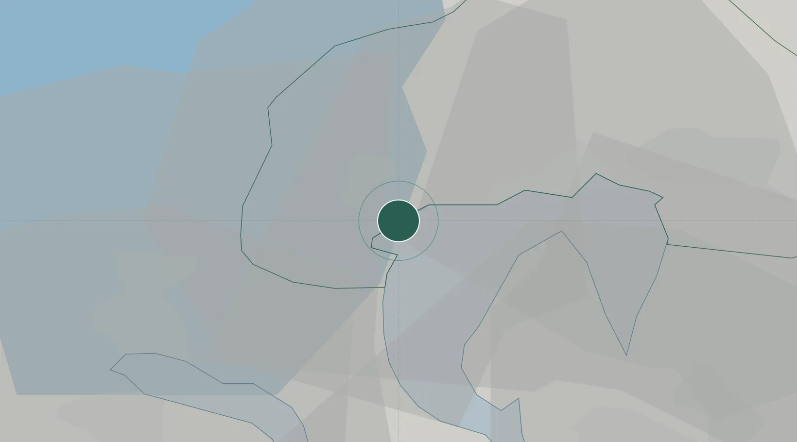
Location
Nearby Logistics Neighbours
Ports
- 1Oslo14 km
- 2Fagerstrand16 km
- 3Drammen20 km
- 4Drobak24 km
- 5Svelvik28 km
Airports
- 1Oslo-Gardermoen International Airport49 km
- 2Moss Airport, Rygge57 km
- 3Sandefjord Airport, Torp77 km
- 4Notodden Airport80 km
- 5Skien Airport92 km
Trade Zones
DatabookThe Record of Consolidated Knowledge
Norway beyond logistics?