UN/LOCODE hub · Norway
NOSGJ

Straumsgjerde

62.3333°, 6.5833°
2
Transport functions

Transport Functions

Port
Road
UN/LOCODE

Hub Profile

Region
15
GeoNames

Location

Location of NOSGJ
Natural Earth 10m (public domain) · 15 · NOSGJ · 62.33, 6.58GoogleOSMYandex

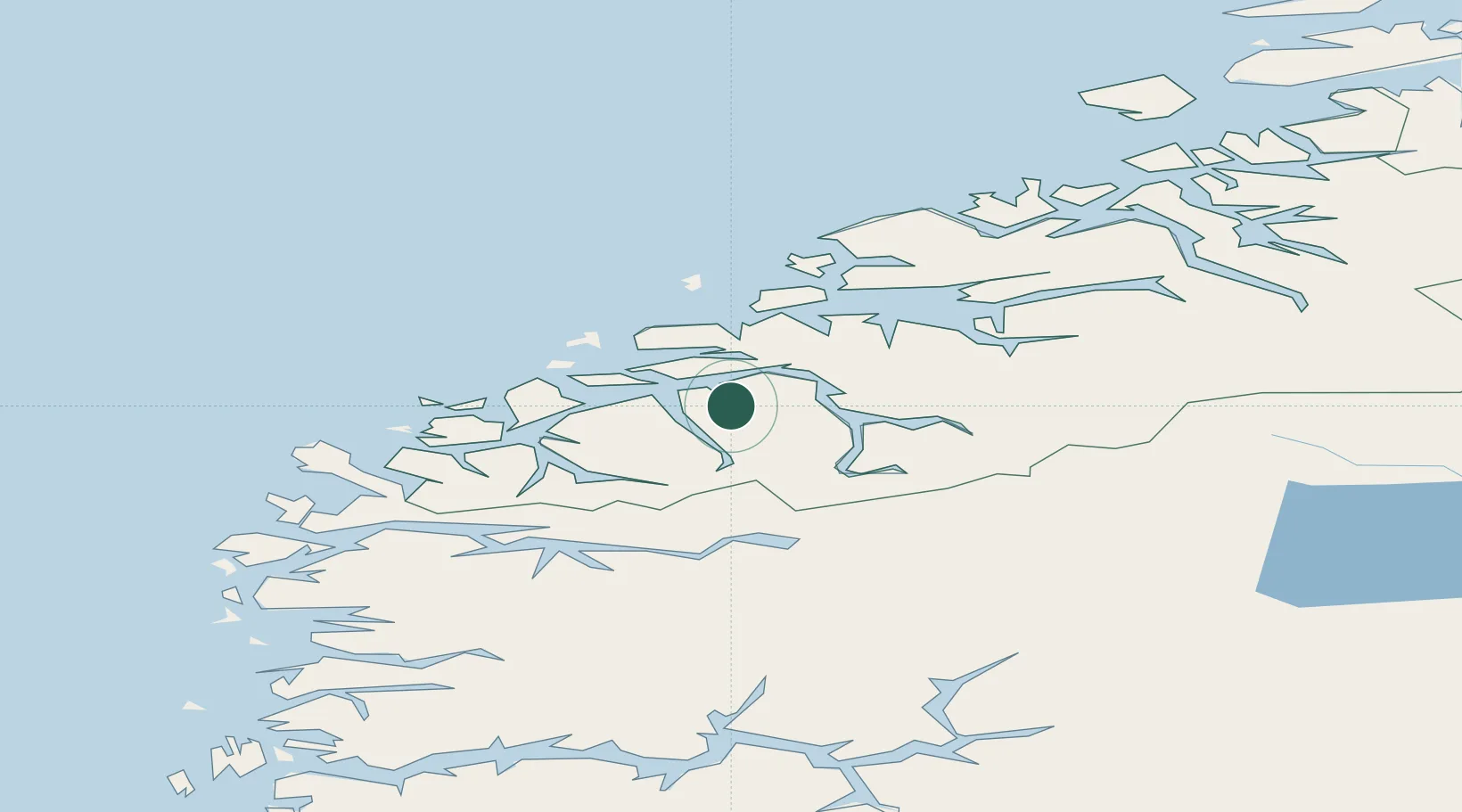
Nearby Logistics Neighbours

Cities
  1. 1Ikornnes6 km
  2. 2Sykkylven8 km
  3. 3Hundeidvika9 km
  4. 4Standal11 km
  5. 5Sövik14 km
Nearest neighbours — logibook spatial index (haversine) over the source coordinates
Ports
  1. 1Alesund26 km
  2. 2Hareid29 km
  3. 3Orstav29 km
  4. 4Moldtustranda48 km
  5. 5Molde54 km
Nearest neighbours — logibook spatial index (haversine) over the source coordinates
Airports
  1. 1Ørsta-Volda Airport, Hovden31 km
  2. 2Ålesund Airport35 km
  3. 3Molde Airport, Årø58 km
  4. 4Sandane Airport, Anda61 km
  5. 5Kristiansund Airport, Kvernberget107 km
Nearest neighbours — logibook spatial index (haversine) over the source coordinates
Trade Zones
  1. 1Gothenburg Boundless Customs Warehouse591 km
  2. 2Jönköping Free Zone656 km
  3. 3Freeport of Copenhagen- Nordhavn812 km
  4. 4MTS Malmö Transport and Spedition835 km
  5. 5Freeport of Kiel914 km
Nearest neighbours — logibook spatial index (haversine) over the source coordinates
DatabookThe Record of Consolidated Knowledge
Norway beyond logistics?
Browse databook

All Sources

LocationsUN/LOCODE
UN/LOCODE — free
Portsthe NGA World Port Index
Public domain (US gov)
AirportsOurAirports
Public domain
Trade Zonesthe World Bank SEZ database
CC BY 4.0
Trade ZonesOpen Zone Map
CC BY
← Norway locations