Transport Functions
Port
Road
Hub Profile
Place type
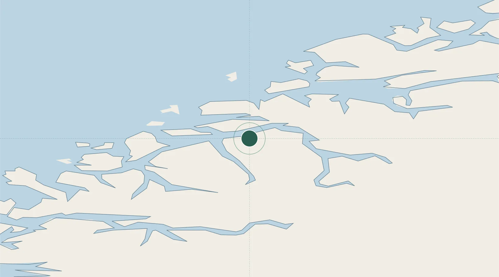
Populated place
Region
Møre og Romsdal
Population
737
Time zone
Europe/Oslo
Elevation
1 m
Logistics facilities
1
Location
Nearby Logistics Neighbours
Cities
- 1Sykkylven2 km
- 2Straumsgjerde6 km
- 3Hundeidvika8 km
- 4Sövik11 km
- 5Håeimsvika13 km
Ports
- 1Alesund22 km
- 2Hareid27 km
- 3Orstav31 km
- 4Moldtustranda48 km
- 5Molde50 km
Airports
- 1Ålesund Airport30 km
- 2Ørsta-Volda Airport, Hovden34 km
- 3Molde Airport, Årø54 km
- 4Sandane Airport, Anda66 km
- 5Kristiansund Airport, Kvernberget103 km
Trade Zones
- 1Gothenburg Boundless Customs Warehouse596 km
- 2Jönköping Free Zone662 km
- 3Freeport of Copenhagen- Nordhavn818 km
- 4MTS Malmö Transport and Spedition841 km
- 5Freeport of Kiel920 km
DatabookThe Record of Consolidated Knowledge
Norway beyond logistics?