UN/LOCODE hub · Norway
NOSNL

Standal

62.2667°, 6.4333°
1
Transport functions

Transport Functions

Port
UN/LOCODE

Hub Profile

Region
15
GeoNames

Location

Location of NOSNL
Natural Earth 10m (public domain) · 15 · NOSNL · 62.27, 6.43GoogleOSMYandex

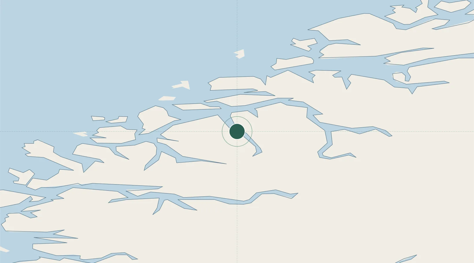
Nearby Logistics Neighbours

Cities
  1. 1Straumsgjerde11 km
  2. 2Hundeidvika11 km
  3. 3Ikornnes15 km
  4. 4Sykkylven16 km
  5. 5Vartdal19 km
Nearest neighbours — logibook spatial index (haversine) over the source coordinates
Ports
  1. 1Orstav18 km
  2. 2Hareid24 km
  3. 3Alesund26 km
  4. 4Moldtustranda41 km
  5. 5Molde64 km
Nearest neighbours — logibook spatial index (haversine) over the source coordinates
Airports
  1. 1Ørsta-Volda Airport, Hovden21 km
  2. 2Ålesund Airport37 km
  3. 3Sandane Airport, Anda52 km
  4. 4Molde Airport, Årø68 km
  5. 5Førde Airport, Bringeland104 km
Nearest neighbours — logibook spatial index (haversine) over the source coordinates
Trade Zones
  1. 1Gothenburg Boundless Customs Warehouse588 km
  2. 2Jönköping Free Zone656 km
  3. 3Freeport of Copenhagen- Nordhavn809 km
  4. 4MTS Malmö Transport and Spedition832 km
  5. 5Freeport of Kiel908 km
Nearest neighbours — logibook spatial index (haversine) over the source coordinates
DatabookThe Record of Consolidated Knowledge
Norway beyond logistics?
Browse databook

All Sources

LocationsUN/LOCODE
UN/LOCODE — free
Portsthe NGA World Port Index
Public domain (US gov)
AirportsOurAirports
Public domain
Trade Zonesthe World Bank SEZ database
CC BY 4.0
Trade ZonesOpen Zone Map
CC BY
← Norway locations