Transport Functions
Port
Road
Hub Profile
Place type
Provincial seat
Region
Møre og Romsdal
Time zone
Europe/Oslo
Elevation
20 m
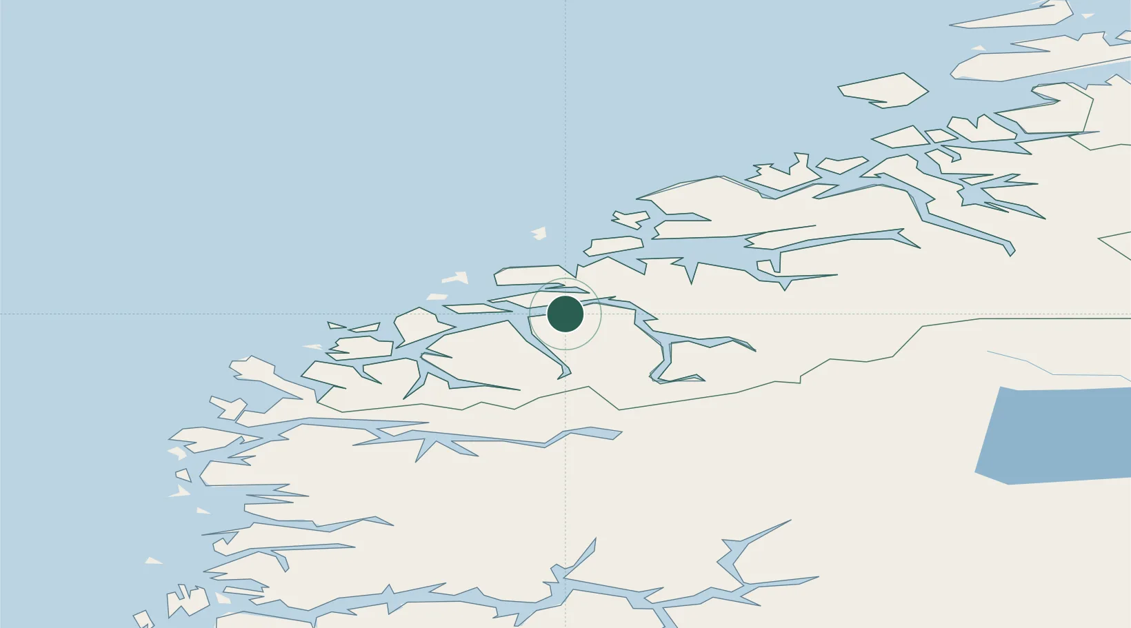
Location
Nearby Logistics Neighbours
Cities
- 1Ikornnes2 km
- 2Straumsgjerde8 km
- 3Hundeidvika9 km
- 4Sövik10 km
- 5Håeimsvika12 km
Ports
- 1Alesund22 km
- 2Hareid28 km
- 3Orstav33 km
- 4Molde48 km
- 5Moldtustranda49 km
Airports
- 1Ålesund Airport29 km
- 2Ørsta-Volda Airport, Hovden35 km
- 3Molde Airport, Årø52 km
- 4Sandane Airport, Anda68 km
- 5Kristiansund Airport, Kvernberget102 km
Trade Zones
- 1Gothenburg Boundless Customs Warehouse597 km
- 2Jönköping Free Zone662 km
- 3Freeport of Copenhagen- Nordhavn819 km
- 4MTS Malmö Transport and Spedition842 km
- 5Freeport of Kiel921 km
DatabookThe Record of Consolidated Knowledge
Norway beyond logistics?