UN/LOCODE hub · Norway
NOHUD

Hundeidvika

62.3667°, 6.4167°
1
Transport functions

Transport Functions

Port
UN/LOCODE

Hub Profile

Region
15
GeoNames

Location

Location of NOHUD
Natural Earth 10m (public domain) · 15 · NOHUD · 62.37, 6.42GoogleOSMYandex

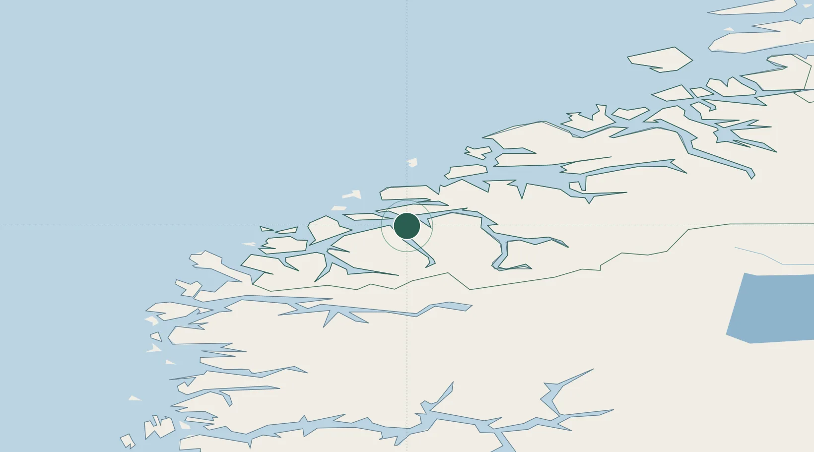
Nearby Logistics Neighbours

Cities
  1. 1Ikornnes8 km
  2. 2Sykkylven9 km
  3. 3Straumsgjerde9 km
  4. 4Spjelkavik10 km
  5. 5Standal11 km
Nearest neighbours — logibook spatial index (haversine) over the source coordinates
Ports
  1. 1Alesund17 km
  2. 2Hareid20 km
  3. 3Orstav25 km
  4. 4Moldtustranda40 km
  5. 5Molde56 km
Nearest neighbours — logibook spatial index (haversine) over the source coordinates
Airports
  1. 1Ålesund Airport27 km
  2. 2Ørsta-Volda Airport, Hovden27 km
  3. 3Molde Airport, Årø60 km
  4. 4Sandane Airport, Anda62 km
  5. 5Kristiansund Airport, Kvernberget110 km
Nearest neighbours — logibook spatial index (haversine) over the source coordinates
Trade Zones
  1. 1Gothenburg Boundless Customs Warehouse598 km
  2. 2Jönköping Free Zone665 km
  3. 3Freeport of Copenhagen- Nordhavn819 km
  4. 4MTS Malmö Transport and Spedition843 km
  5. 5Freeport of Kiel919 km
Nearest neighbours — logibook spatial index (haversine) over the source coordinates
DatabookThe Record of Consolidated Knowledge
Norway beyond logistics?
Browse databook

All Sources

LocationsUN/LOCODE
UN/LOCODE — free
Portsthe NGA World Port Index
Public domain (US gov)
AirportsOurAirports
Public domain
Trade Zonesthe World Bank SEZ database
CC BY 4.0
Trade ZonesOpen Zone Map
CC BY
← Norway locations