Transport Functions
Port
Road
Hub Profile
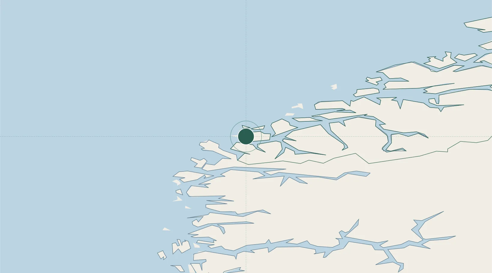
Place type
Populated place
Region
Møre og Romsdal
Time zone
Europe/Oslo
Elevation
120 m
Location
Nearby Logistics Neighbours
Cities
- 1Gursken2 km
- 2Larsnes5 km
- 3Moldtustranda5 km
- 4Eggesbønes9 km
- 5Mjølstadneset10 km
Ports
- 1Moldtustranda8 km
- 2Hareid29 km
- 3Orstav30 km
- 4Alesund40 km
- 5Maloy42 km
Airports
- 1Ørsta-Volda Airport, Hovden28 km
- 2Ålesund Airport45 km
- 3Sandane Airport, Anda55 km
- 4Florø Airport79 km
- 5Førde Airport, Bringeland96 km
Trade Zones
DatabookThe Record of Consolidated Knowledge
Norway beyond logistics?