UN/LOCODE hub · Norway
NOMLT

Moldtustranda

62.2833°, 5.6167°
2
Transport functions

Transport Functions

Port
Road
Moldtustranda is also a profiled seaport →
UN/LOCODE

Hub Profile

Region
15
GeoNames

Location

Location of NOMLT
Natural Earth 10m (public domain) · 15 · NOMLT · 62.28, 5.62GoogleOSMYandex

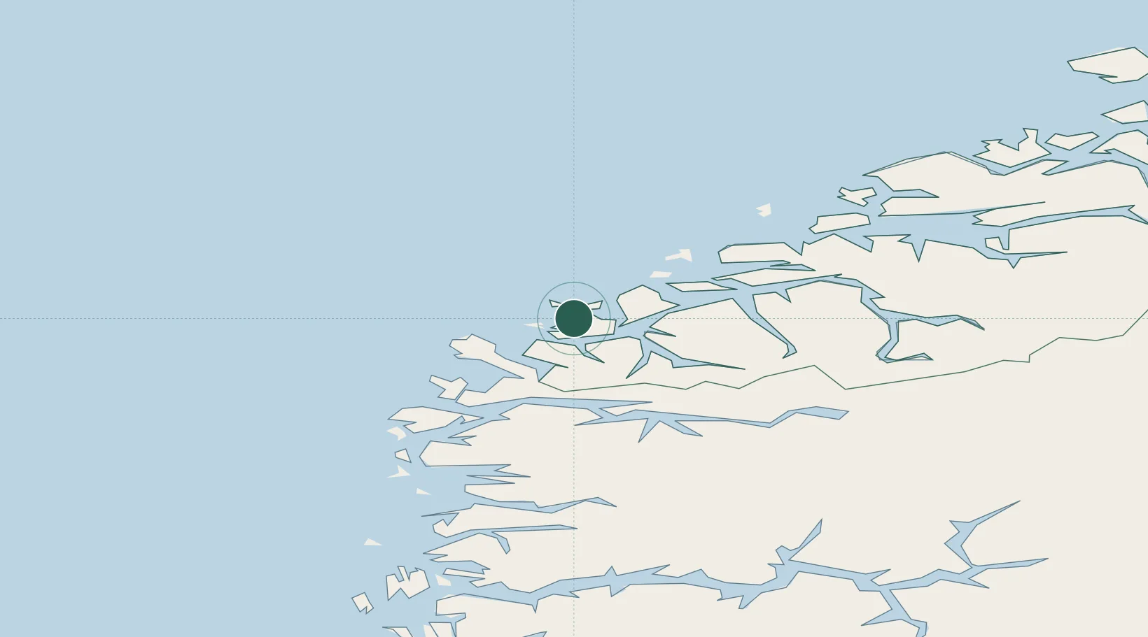
Nearby Logistics Neighbours

Cities
  1. 1Eggesbønes4 km
  2. 2Mjølstadneset5 km
  3. 3Gjerdsvika5 km
  4. 4Fosnavåg6 km
  5. 5Tjørvåg6 km
Nearest neighbours — logibook spatial index (haversine) over the source coordinates
Ports
  1. 1Hareid24 km
  2. 2Orstav28 km
  3. 3Alesund35 km
  4. 4Maloy47 km
  5. 5Floro82 km
Nearest neighbours — logibook spatial index (haversine) over the source coordinates
Airports
  1. 1Ørsta-Volda Airport, Hovden26 km
  2. 2Ålesund Airport40 km
  3. 3Sandane Airport, Anda57 km
  4. 4Florø Airport84 km
  5. 5Molde Airport, Årø99 km
Nearest neighbours — logibook spatial index (haversine) over the source coordinates
Trade Zones
  1. 1Gothenburg Boundless Customs Warehouse614 km
  2. 2Jönköping Free Zone687 km
  3. 3Freeport of Copenhagen- Nordhavn832 km
  4. 4MTS Malmö Transport and Spedition856 km
  5. 5North Eastern Enterprise Zone914 km
Nearest neighbours — logibook spatial index (haversine) over the source coordinates
DatabookThe Record of Consolidated Knowledge
Norway beyond logistics?
Browse databook

All Sources

LocationsUN/LOCODE
UN/LOCODE — free
Portsthe NGA World Port Index
Public domain (US gov)
AirportsOurAirports
Public domain
Trade Zonesthe World Bank SEZ database
CC BY 4.0
Trade ZonesOpen Zone Map
CC BY
← Norway locations