Transport Functions
Port
Road
Hub Profile
Region
15
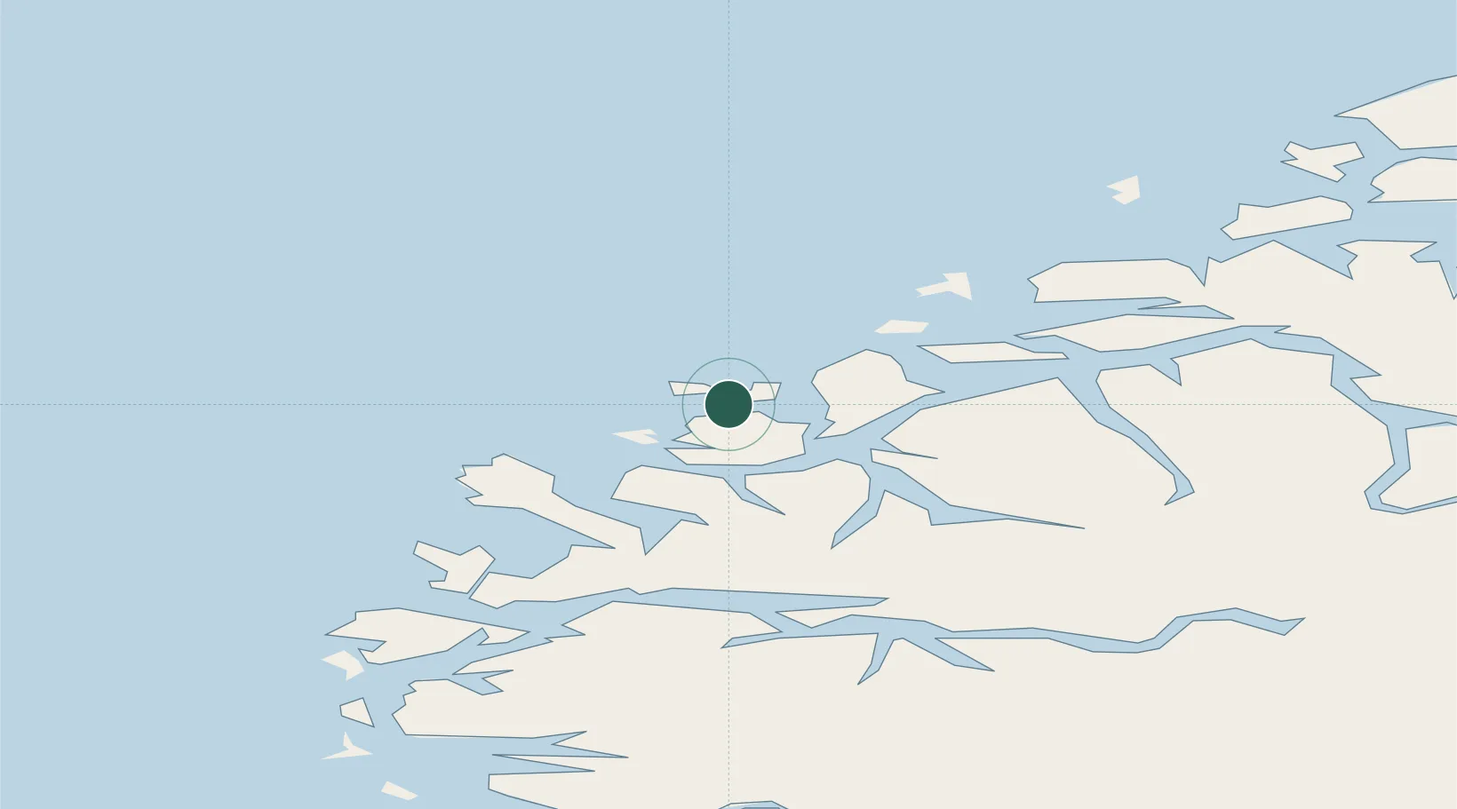
Location
Nearby Logistics Neighbours
Cities
- 1Mjølstadneset2 km
- 2Fosnavåg2 km
- 3Moldtustranda4 km
- 4Torvika6 km
- 5Tjørvåg6 km
Ports
- 1Moldtustranda2 km
- 2Hareid22 km
- 3Orstav28 km
- 4Alesund32 km
- 5Maloy50 km
Airports
- 1Ørsta-Volda Airport, Hovden27 km
- 2Ålesund Airport37 km
- 3Sandane Airport, Anda59 km
- 4Florø Airport88 km
- 5Molde Airport, Årø96 km
Trade Zones
DatabookThe Record of Consolidated Knowledge
Norway beyond logistics?