UN/LOCODE hub · Norway
NOORK
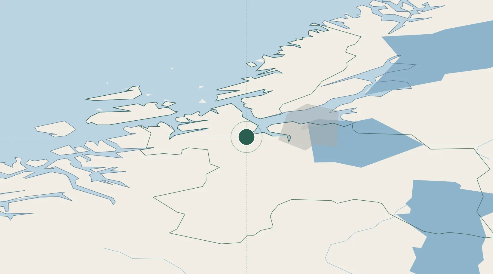
Orkanger
63.3162°, 9.8456°
8,204
Population
2
Transport functions
1
Container terminals
Transport Functions
Port
Road
Hub Profile
Place type
Provincial seat
Region
Trøndelag
Population
8,204
Time zone
Europe/Oslo
Elevation
100 m
Logistics facilities
2
Container terminals
1
Location
Nearby Logistics Neighbours
Ports
- 1Trondheim31 km
- 2Hommelvik49 km
- 3Muruvik52 km
- 4Langstein58 km
- 5Fiborgtangen79 km
Airports
- 1Ørland Airport44 km
- 2Trondheim Airport, Værnes56 km
- 3Kristiansund Airport, Kvernberget104 km
- 4Røros Airport112 km
- 5Molde Airport, Årø145 km
Trade Zones
DatabookThe Record of Consolidated Knowledge
Norway beyond logistics?