UN/LOCODE hub · Norway
NODRK

Drøbak

59.6500°, 10.6167°
2
Transport functions

Transport Functions

Port
Road
Drøbak is also a profiled seaport →
UN/LOCODE

Hub Profile

Region
02
GeoNames

Location

Location of NODRK
Natural Earth 10m (public domain) · 02 · NODRK · 59.65, 10.62GoogleOSMYandex

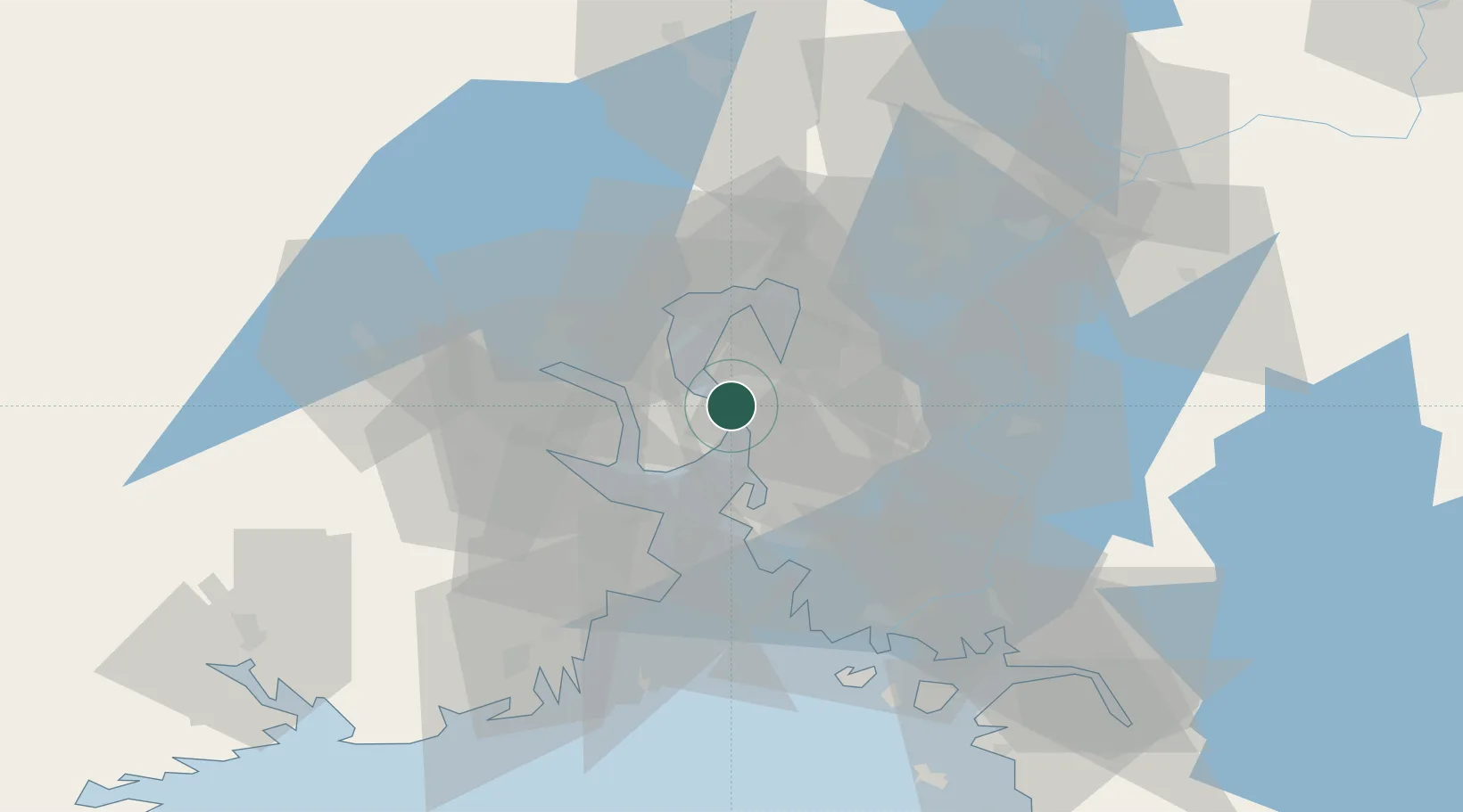
Nearby Logistics Neighbours

Cities
  1. 1Engene6 km
  2. 2Halvorshavn7 km
  3. 3Tofte12 km
  4. 4Tofte - Hurum13 km
  5. 5Svelvik13 km
Nearest neighbours — logibook spatial index (haversine) over the source coordinates
Ports
  1. 1Fagerstrand9 km
  2. 2Svelvik12 km
  3. 3Tofte12 km
  4. 4Kambo20 km
  5. 5Drammen23 km
Nearest neighbours — logibook spatial index (haversine) over the source coordinates
Airports
  1. 1Moss Airport, Rygge32 km
  2. 2Sandefjord Airport, Torp55 km
  3. 3Oslo-Gardermoen International Airport66 km
  4. 4Skien Airport79 km
  5. 5Notodden Airport80 km
Nearest neighbours — logibook spatial index (haversine) over the source coordinates
Trade Zones
  1. 1Gothenburg Boundless Customs Warehouse227 km
  2. 2Jönköping Free Zone290 km
  3. 3Stockholm Free Zone424 km
  4. 4Freeport of Copenhagen- Nordhavn453 km
  5. 5MTS Malmö Transport and Spedition473 km
Nearest neighbours — logibook spatial index (haversine) over the source coordinates
DatabookThe Record of Consolidated Knowledge
Norway beyond logistics?
Browse databook

All Sources

LocationsUN/LOCODE
UN/LOCODE — free
Portsthe NGA World Port Index
Public domain (US gov)
AirportsOurAirports
Public domain
Trade Zonesthe World Bank SEZ database
CC BY 4.0
Trade ZonesOpen Zone Map
CC BY
← Norway locations