UN/LOCODE hub · Norway
NOVKK

Vikkilen

58.3667°, 8.6167°
1
Transport functions

Transport Functions

Port
UN/LOCODE

Hub Profile

Region
09
GeoNames

Location

Location of NOVKK
Natural Earth 10m (public domain) · 09 · NOVKK · 58.37, 8.62GoogleOSMYandex

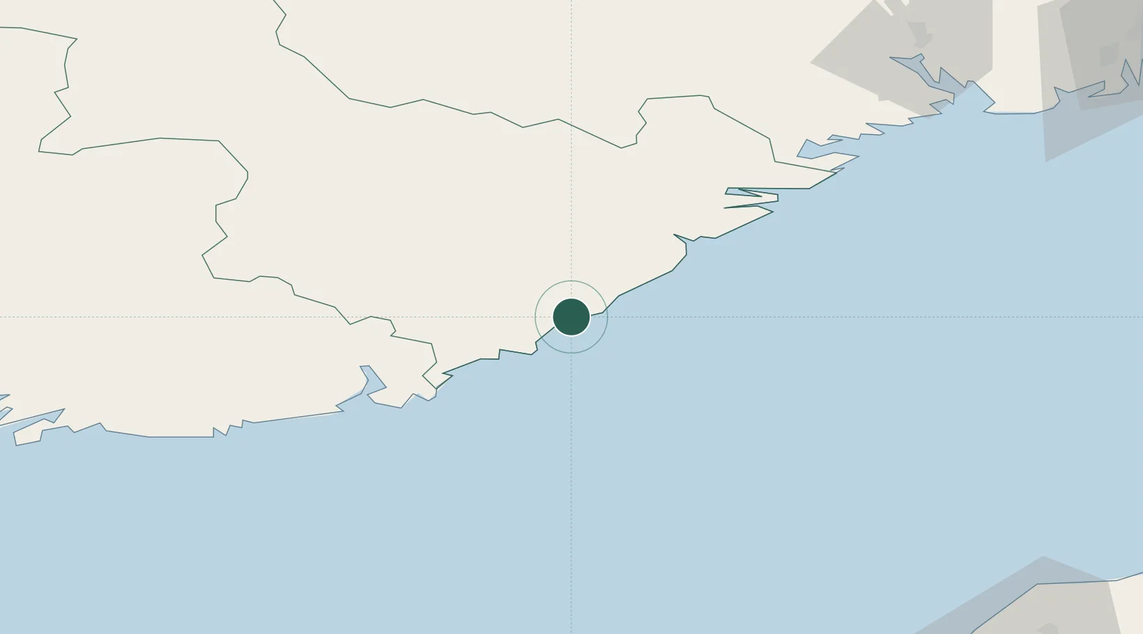
Nearby Logistics Neighbours

Cities
  1. 1Rykene4 km
  2. 2Grimstad4 km
  3. 3Arendal13 km
  4. 4Lillesand21 km
  5. 5Eydehavn21 km
Nearest neighbours — logibook spatial index (haversine) over the source coordinates
Ports
  1. 1Arendal14 km
  2. 2Tvedestrand33 km
  3. 3Kristiansand44 km
  4. 4Risor54 km
  5. 5Kragero72 km
Nearest neighbours — logibook spatial index (haversine) over the source coordinates
Airports
  1. 1Kristiansand Airport36 km
  2. 2Skien Airport106 km
  3. 3Sandefjord Airport, Torp131 km
  4. 4Sindal Airport135 km
  5. 5Notodden Airport138 km
Nearest neighbours — logibook spatial index (haversine) over the source coordinates
Trade Zones
  1. 1Gothenburg Boundless Customs Warehouse202 km
  2. 2Jönköping Free Zone329 km
  3. 3Freeport of Copenhagen- Nordhavn381 km
  4. 4MTS Malmö Transport and Spedition410 km
  5. 5Freeport of Kiel459 km
Nearest neighbours — logibook spatial index (haversine) over the source coordinates
DatabookThe Record of Consolidated Knowledge
Norway beyond logistics?
Browse databook

All Sources

LocationsUN/LOCODE
UN/LOCODE — free
Portsthe NGA World Port Index
Public domain (US gov)
AirportsOurAirports
Public domain
Trade Zonesthe World Bank SEZ database
CC BY 4.0
Trade ZonesOpen Zone Map
CC BY
← Norway locations