Transport Functions
Rail
Road
Hub Profile
Place type
Populated place
Region
Akershus
Time zone
Europe/Oslo
Elevation
117 m
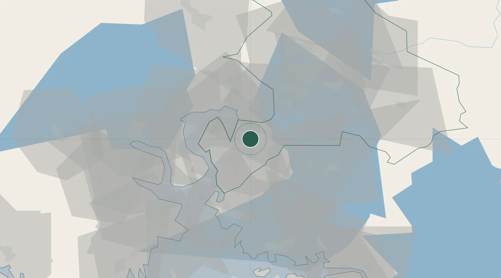
Location
Nearby Logistics Neighbours
Cities
- 1Sjursøja/Oslo15 km
- 2Drøbak16 km
- 3Oslo17 km
- 4Engene18 km
- 5Bjørkås18 km
Ports
- 1Fagerstrand13 km
- 2Drobak15 km
- 3Oslo17 km
- 4Tofte27 km
- 5Svelvik27 km
Airports
- 1Moss Airport, Rygge41 km
- 2Oslo-Gardermoen International Airport52 km
- 3Sandefjord Airport, Torp70 km
- 4Notodden Airport92 km
- 5Skien Airport95 km
Trade Zones
DatabookThe Record of Consolidated Knowledge
Norway beyond logistics?