Transport Functions
Port
Road
Hub Profile
Place type
Populated place
Region
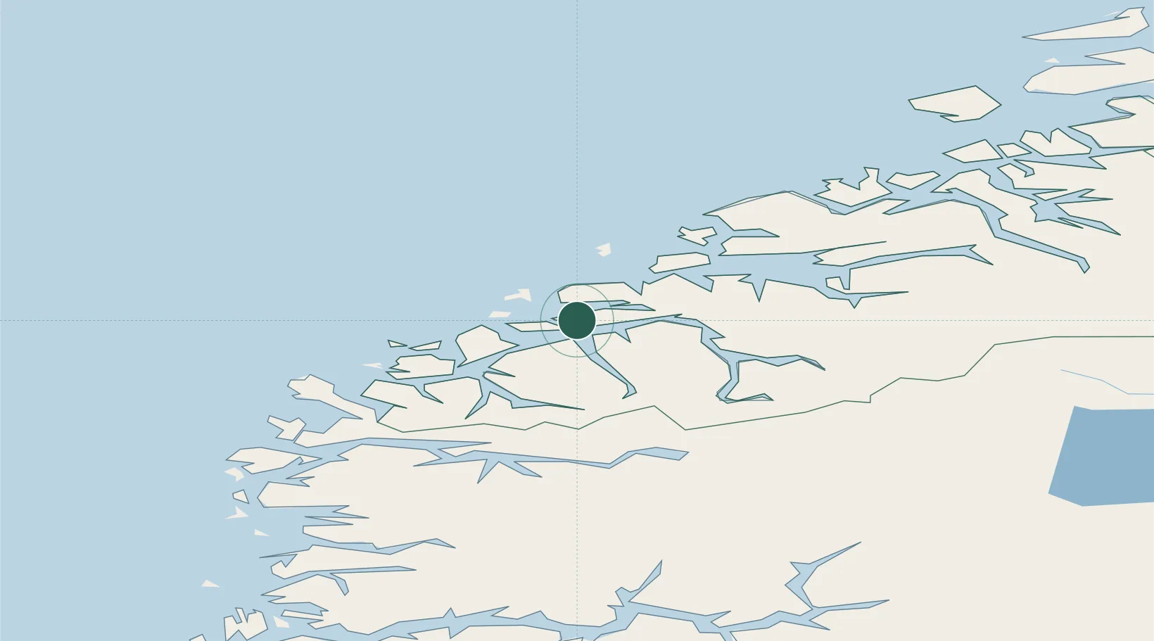
Møre og Romsdal
Time zone
Europe/Oslo
Elevation
31 m
Location
Nearby Logistics Neighbours
Cities
- 1Fiskarstrand3 km
- 2Alvika5 km
- 3Ellingsøy6 km
- 4Langevåg - Sula6 km
- 5Ålesund7 km
Ports
- 1Alesund9 km
- 2Hareid18 km
- 3Orstav30 km
- 4Moldtustranda39 km
- 5Molde53 km
Airports
- 1Ålesund Airport17 km
- 2Ørsta-Volda Airport, Hovden33 km
- 3Molde Airport, Årø58 km
- 4Sandane Airport, Anda70 km
- 5Kristiansund Airport, Kvernberget106 km
Trade Zones
- 1Gothenburg Boundless Customs Warehouse608 km
- 2Jönköping Free Zone674 km
- 3Freeport of Copenhagen- Nordhavn829 km
- 4MTS Malmö Transport and Spedition853 km
- 5Freeport of Kiel929 km
DatabookThe Record of Consolidated Knowledge
Norway beyond logistics?