UN/LOCODE hub · Norway
NOHLE

Helle - Forsand

58.8667°, 6.1500°
1
Transport functions

Transport Functions

Port
UN/LOCODE

Hub Profile

Region
11
GeoNames

Location

Location of NOHLE
Natural Earth 10m (public domain) · 11 · NOHLE · 58.87, 6.15GoogleOSMYandex

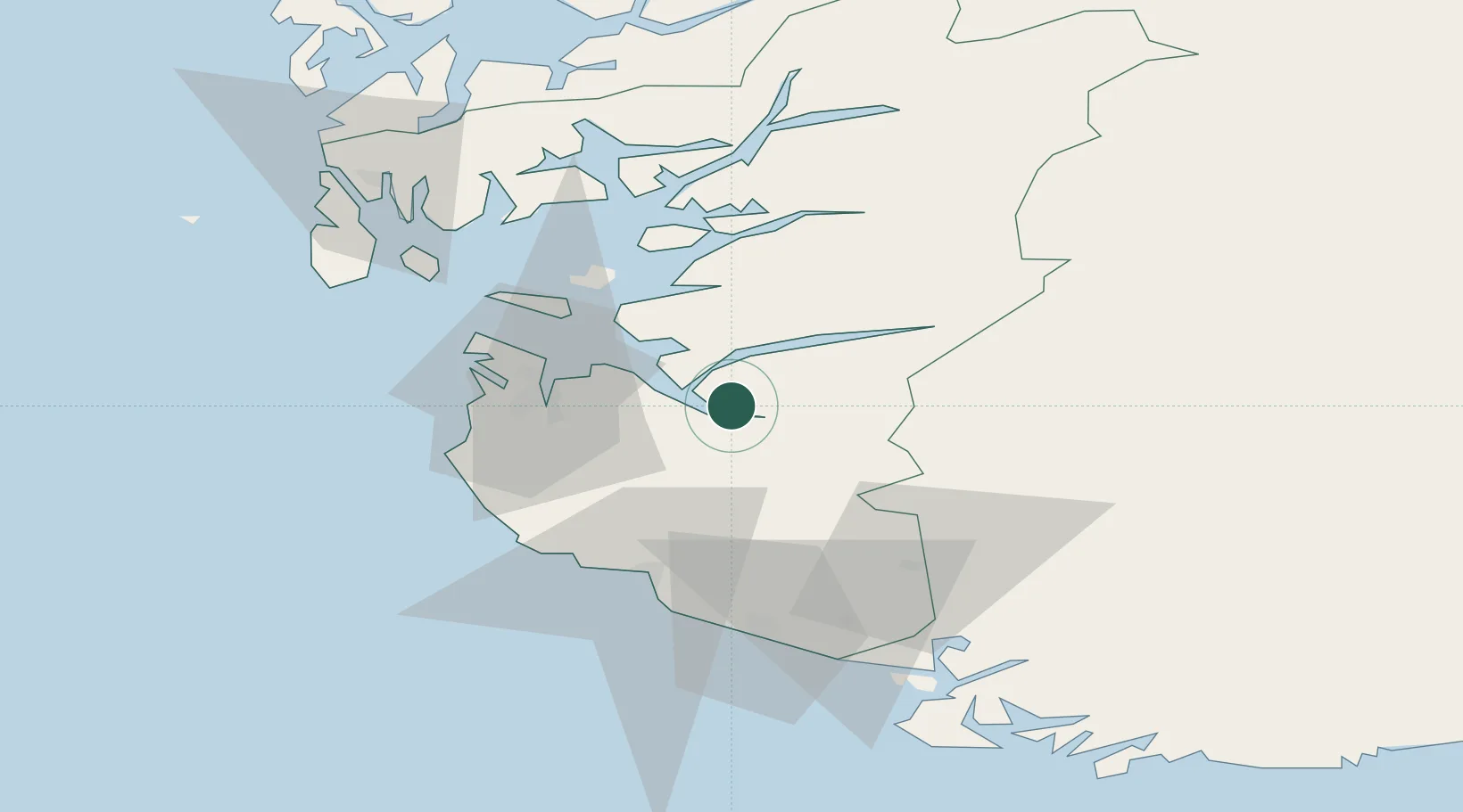
Nearby Logistics Neighbours

Cities
  1. 1Dirdal4 km
  2. 2Forsand5 km
  3. 3Frafjord9 km
  4. 4Steinvig14 km
  5. 5Forus23 km
Nearest neighbours — logibook spatial index (haversine) over the source coordinates
Ports
  1. 1Sandnes23 km
  2. 2Stavanger26 km
  3. 3Tananger34 km
  4. 4Egersund49 km
  5. 5Karsto57 km
Nearest neighbours — logibook spatial index (haversine) over the source coordinates
Airports
  1. 1Stavanger Airport, Sola30 km
  2. 2Haugesund Airport, Karmøy76 km
  3. 3Stord Airport, Sørstokken113 km
  4. 4Kristiansand Airport134 km
  5. 5Bergen Airport, Flesland167 km
Nearest neighbours — logibook spatial index (haversine) over the source coordinates
Trade Zones
  1. 1Gothenburg Boundless Customs Warehouse355 km
  2. 2Jönköping Free Zone480 km
  3. 3Freeport of Copenhagen- Nordhavn522 km
  4. 4MTS Malmö Transport and Spedition553 km
  5. 5Freeport of Kiel561 km
Nearest neighbours — logibook spatial index (haversine) over the source coordinates
DatabookThe Record of Consolidated Knowledge
Norway beyond logistics?
Browse databook

All Sources

LocationsUN/LOCODE
UN/LOCODE — free
Portsthe NGA World Port Index
Public domain (US gov)
AirportsOurAirports
Public domain
Trade Zonesthe World Bank SEZ database
CC BY 4.0
Trade ZonesOpen Zone Map
CC BY
← Norway locations