Transport Functions
Port
Road
Hub Profile
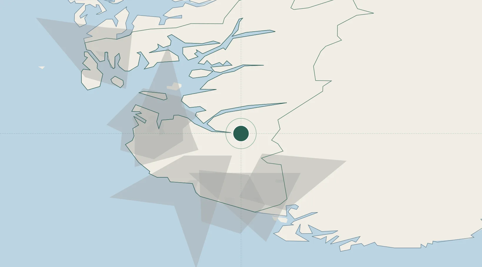
Place type
Populated place
Region
Rogaland
Time zone
Europe/Oslo
Elevation
9 m
Location
Nearby Logistics Neighbours
Cities
- 1Dirdal8 km
- 2Helle - Forsand9 km
- 3Forsand15 km
- 4Steinvig23 km
- 5Bjerkreim28 km
Airports
- 1Stavanger Airport, Sola38 km
- 2Haugesund Airport, Karmøy84 km
- 3Stord Airport, Sørstokken120 km
- 4Kristiansand Airport125 km
- 5Bergen Airport, Flesland173 km
Trade Zones
- 1Gothenburg Boundless Customs Warehouse346 km
- 2Jönköping Free Zone470 km
- 3Freeport of Copenhagen- Nordhavn513 km
- 4MTS Malmö Transport and Spedition544 km
- 5Freeport of Kiel554 km
DatabookThe Record of Consolidated Knowledge
Norway beyond logistics?