Transport Functions
Port
Hub Profile
Place type
Populated place
Region
Rogaland
Time zone
Europe/Oslo
Elevation
46 m
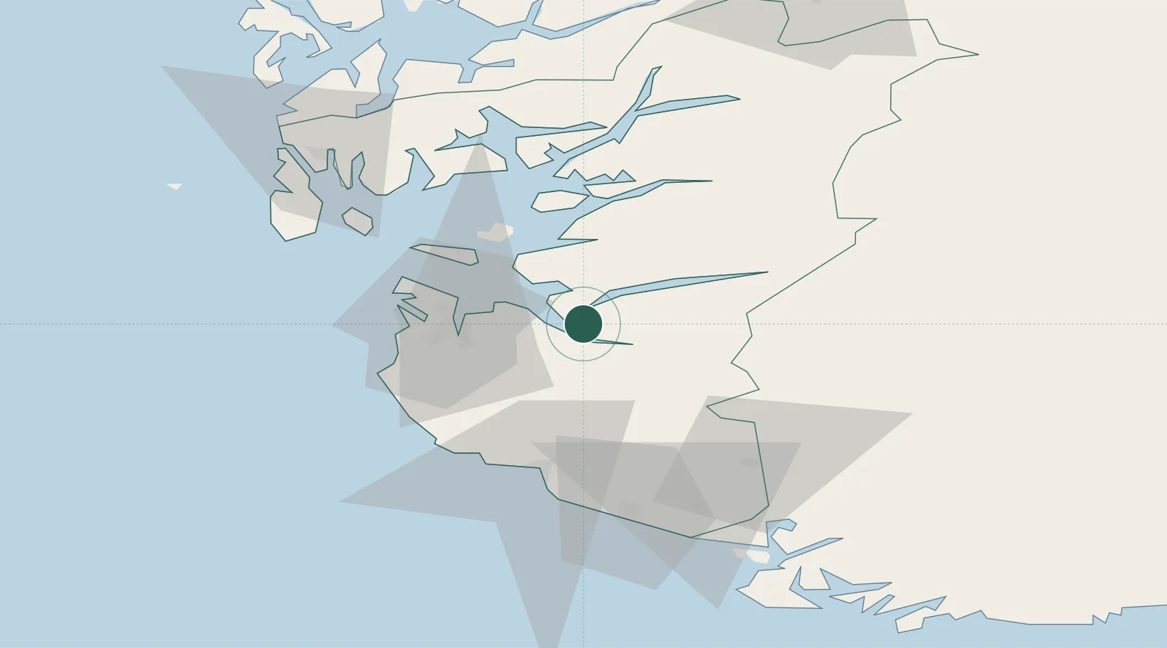
Location
Nearby Logistics Neighbours
Cities
- 1Helle - Forsand5 km
- 2Steinvig9 km
- 3Dirdal9 km
- 4Frafjord15 km
- 5Forus19 km
Airports
- 1Stavanger Airport, Sola26 km
- 2Haugesund Airport, Karmøy70 km
- 3Stord Airport, Sørstokken108 km
- 4Kristiansand Airport140 km
- 5Bergen Airport, Flesland162 km
Trade Zones
- 1Gothenburg Boundless Customs Warehouse360 km
- 2Jönköping Free Zone484 km
- 3Freeport of Copenhagen- Nordhavn528 km
- 4MTS Malmö Transport and Spedition558 km
- 5Freeport of Kiel566 km
DatabookThe Record of Consolidated Knowledge
Norway beyond logistics?