UN/LOCODE hub · Norway
NOBTN

Botnaneset - Flora

61.6167°, 5.0667°
1
Transport functions

Transport Functions

Port
UN/LOCODE

Hub Profile

Region
14
GeoNames

Location

Location of NOBTN
Natural Earth 10m (public domain) · 14 · NOBTN · 61.62, 5.07GoogleOSMYandex

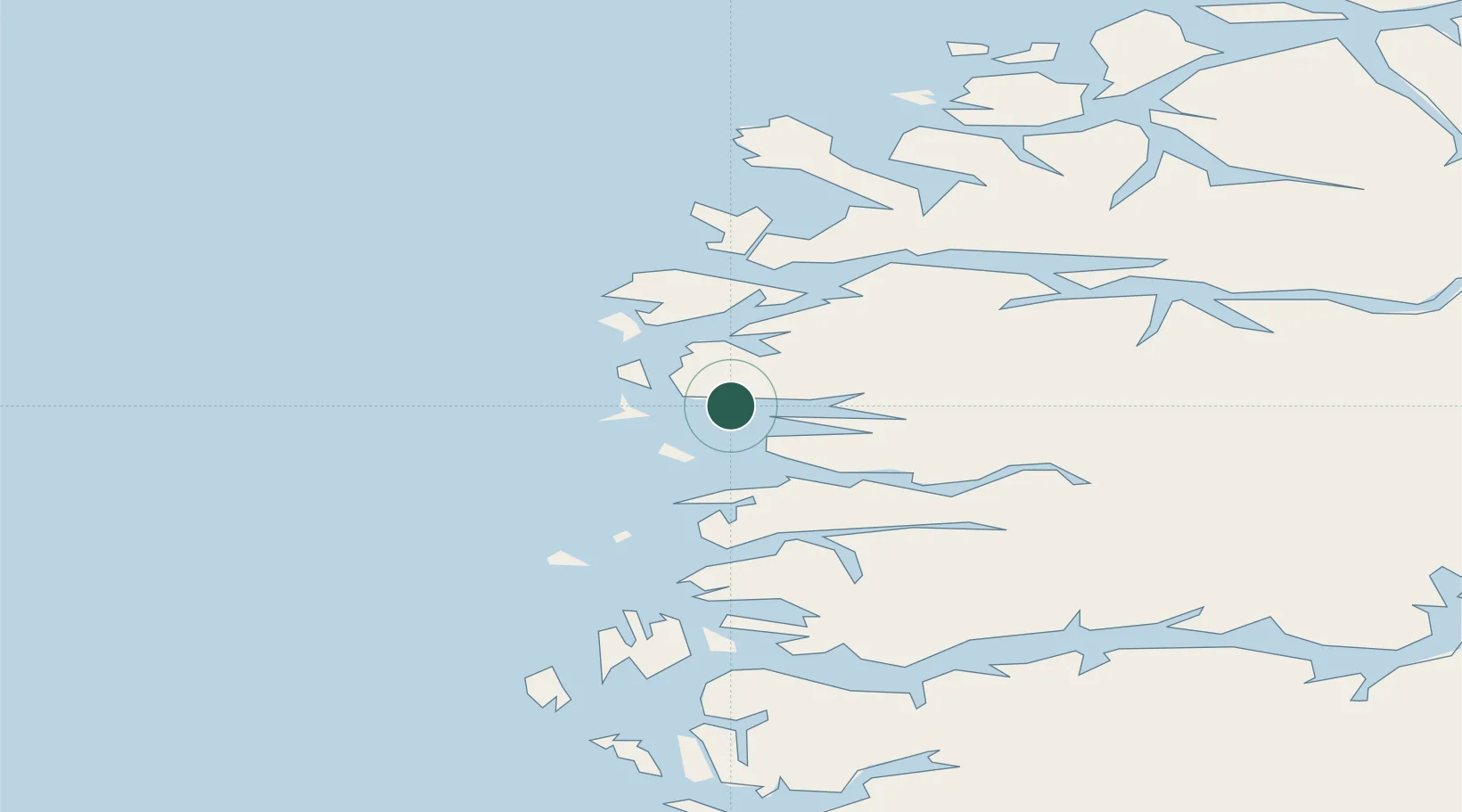
Nearby Logistics Neighbours

Cities
  1. 1Flora3 km
  2. 2Florø3 km
  3. 3Gunhildvågen5 km
  4. 4Dyrstad18 km
  5. 5Kalvåg19 km
Nearest neighbours — logibook spatial index (haversine) over the source coordinates
Ports
  1. 1Floro2 km
  2. 2Maloy35 km
  3. 3Moldtustranda82 km
  4. 4Orstav85 km
  5. 5Mongstad87 km
Nearest neighbours — logibook spatial index (haversine) over the source coordinates
Airports
  1. 1Florø Airport4 km
  2. 2Førde Airport, Bringeland44 km
  3. 3Sandane Airport, Anda60 km
  4. 4Ørsta-Volda Airport, Hovden82 km
  5. 5Ålesund Airport118 km
Nearest neighbours — logibook spatial index (haversine) over the source coordinates
Trade Zones
  1. 1Gothenburg Boundless Customs Warehouse576 km
  2. 2Freeport of Copenhagen- Nordhavn787 km
  3. 3MTS Malmö Transport and Spedition813 km
  4. 4North Eastern Enterprise Zone836 km
  5. 5Tees Valley Enterprise Zone861 km
Nearest neighbours — logibook spatial index (haversine) over the source coordinates
DatabookThe Record of Consolidated Knowledge
Norway beyond logistics?
Browse databook

All Sources

LocationsUN/LOCODE
UN/LOCODE — free
Portsthe NGA World Port Index
Public domain (US gov)
AirportsOurAirports
Public domain
Trade Zonesthe World Bank SEZ database
CC BY 4.0
Trade ZonesOpen Zone Map
CC BY
← Norway locations