UN/LOCODE hub · Norway
NOSVE
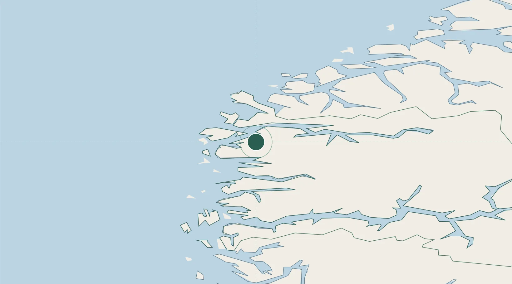
Svelgen
61.7733°, 5.2944°
1,207
Population
2
Transport functions
1
Container terminals
Transport Functions
Port
Road
Hub Profile
Place type
Provincial seat
Region
Vestland
Population
1,207
Time zone
Europe/Oslo
Elevation
140 m
Logistics facilities
1
Container terminals
1
Location
Nearby Logistics Neighbours
Cities
- 1Dyrstad6 km
- 2Deknepollen18 km
- 3Kalvneset20 km
- 4Iglandsvik20 km
- 5Måløy20 km
Ports
- 1Maloy20 km
- 2Floro23 km
- 3Moldtustranda61 km
- 4Orstav64 km
- 5Hareid77 km
Airports
- 1Florø Airport25 km
- 2Sandane Airport, Anda43 km
- 3Førde Airport, Bringeland49 km
- 4Ørsta-Volda Airport, Hovden61 km
- 5Ålesund Airport97 km
Trade Zones
DatabookThe Record of Consolidated Knowledge
Norway beyond logistics?