Medium airport · Madagascar
Toliara AirportFMST
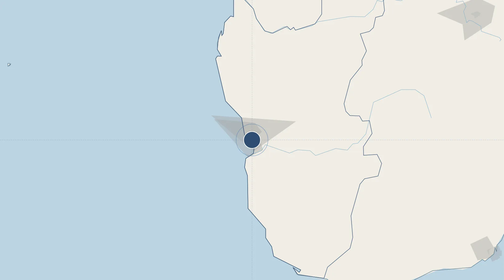
-23.3834°, 43.7285°
6,562 ft
Longest runway
2
Runways
29 ft
Elevation
Runway & Layout

Radio Frequencies
A/G
548.4 MHz
AIR GND
AFIS
118.6 MHz
Navaids
VSQ NDB Toliara 367 kHz
Runways · 2
| Runway | Dimensions | Surface | True heading | Lit |
|---|---|---|---|---|
| 04/22 | 6,562 × 98ft | Asphalt | 023° | — |
| 11/29 | 2,625 × 42ft | Asphalt | 088° | — |
Airport Specifications
IATA code
TLE
ICAO code
FMST
Airport class
Medium airport
Scheduled service
Yes
Runway surface
Asphalt
Served city
Toliara
Location
Nearby Logistics Neighbours
Airports
- 1Morombe Airport185 km
- 2Morondava Airport350 km
- 3Tôlanaro Airport376 km
- 4Fianarantsoa Airport409 km
- 5Miandrivazo Airport461 km
Cities
- 1Tulear (Toliara)6 km
- 2Amboasary Sud326 km
- 3Ehoala377 km
- 4Tamatave (Toamasina)829 km
- 5Coropoa871 km
Trade Zones
- 1Betsinjaka Special Economic Zone3 km
- 2Ehoala Park377 km
- 3Moramanga Textile City Zone678 km
- 4Tsarakofafa Special Economic Zone827 km
- 5Toamasina Autonomous Port830 km
DatabookThe Record of Consolidated Knowledge
Madagascar beyond logistics?